Beaver Lake 131
Amiskosâkahikanihk | |
|---|---|
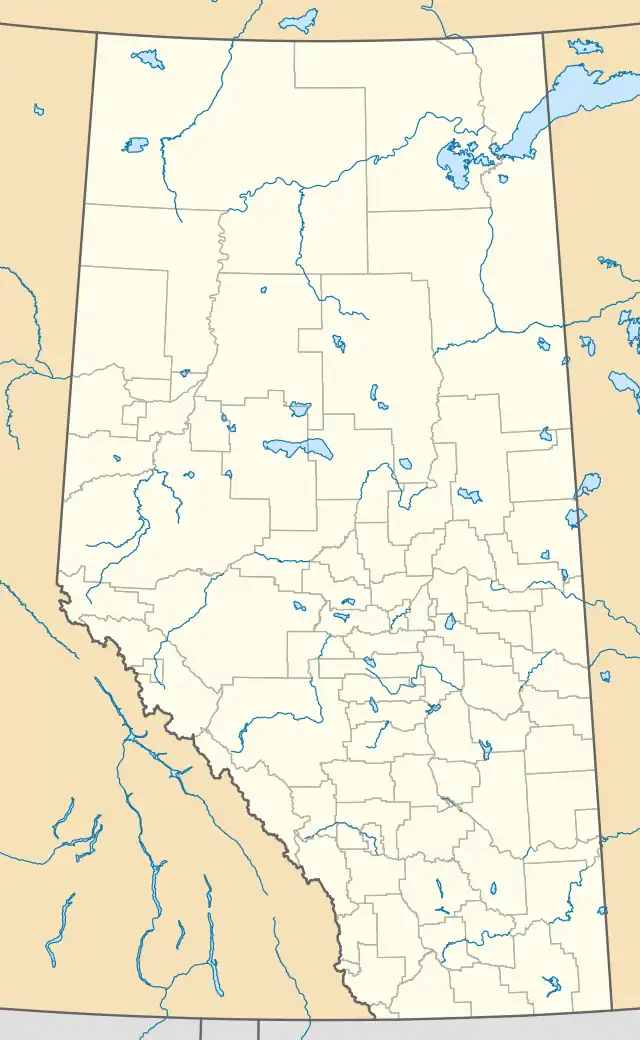 Beaver Lake 131 Location of the Beaver Lake 131 reserve of the Beaver Lake First Nation | |
| Coordinates: 54°40′07″N 111°52′17″W / 54.66861°N 111.87139°W[1] | |
| Country | |
| Province | |
| Census division | Division No. 12 |
| Federal electoral district | Fort McMurray—Athabasca |
| Government | |
| • Type | First Nations Council |
| • Chief | Germaine Anderson[2] |
| • Councillor | Gary Lameman[2] |
| • Councillor | Curtis Gladue[2] |
| • Councillor | Charlene Cardinal[2] |
| Elevation | 577 m (1,893 ft) |
| Time zone | UTC-7 (Mountain Time Zone) |
| • Summer (DST) | UTC-6 (Mountain Time Zone) |
| Area code | 780 |
| Highways | Highway 55 Highway 36 Highway 881 |
| Website | www |
Beaver Lake 131 is an Indian reserve in Alberta, Canada, of the Beaver Lake Cree Nation.[4][1]
References
- 1 2 "Beaver Lake 131". Geographical Names Data Base. Natural Resources Canada. Retrieved 2015-07-04.
- 1 2 3 4 Government of Alberta 2012, p. 21.
- ↑ Elevation taken from Google Maps at geographic coordinates given in the Infobox. Accessed 2015-07-04.
- ↑ "Beaver Lake 131 - Aboriginal Communities". Aboriginalcanada.gc.ca. 2012-08-16. Archived from the original on 2013-02-05. Retrieved 2012-10-12.
Bibliography
- "2012 Metis Settlement Profile" (PDF), Government of Alberta, archived from the original (PDF) on 25 March 2013, retrieved 30 August 2013
This article is issued from Wikipedia. The text is licensed under Creative Commons - Attribution - Sharealike. Additional terms may apply for the media files.