Behala Airport Behala Flying Club | |||||||||||
|---|---|---|---|---|---|---|---|---|---|---|---|
| Summary | |||||||||||
| Airport type | Public | ||||||||||
| Operator | Airports Authority of India | ||||||||||
| Serves | Kolkata | ||||||||||
| Location | Parnasree,Behala, Kolkata, India | ||||||||||
| Elevation AMSL | 10 ft / 3 m | ||||||||||
| Coordinates | 22°30′19.1″N 088°17′47.9″E / 22.505306°N 88.296639°E | ||||||||||
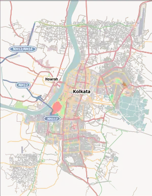
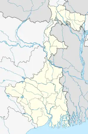
| Map | |||||||||||
 Behala Airport  Behala Airport | |||||||||||
| Runways | |||||||||||
| |||||||||||
Currently not in operation, Only a flying school operates here | |||||||||||
Behala Airport (ICAO: VEBA) is located at Behala in the city of Kolkata, India. It is located approximately 8 kilometres (5.0 mi) from the city centre. It is more commonly called Behala Flying Training Institute or Behala Flying Club. The Ministry of Civil Aviation and the Airports Authority of India have plans to develop it into a full-fledged commercial airport by expanding the runway to 4,500 feet (1.4 km) to ease the pressure on the Netaji Subhash Chandra Bose International Airport.[1][2][3][4][5]
References
- ↑ Reporter, B. S. (4 September 2011). "AAI set to renovate Behala airport for civil operations". Business Standard India. Retrieved 11 February 2019.
- ↑ "Behala Airport". aai.aero. 25 May 2018. Retrieved 9 July 2020.
- ↑ "domain-b.com : New airport project at Behala, near Kolkata: Civil aviation minister Praful Patel". www.domain-b.com. Retrieved 8 July 2020.
- ↑ ঘোষ, সুনন্দ. "বেহালা বিমানবন্দর নিয়ে কেন্দ্র-রাজ্য তরজা". anandabazar.com (in Bengali). Retrieved 8 July 2020.
- ↑ "Behala airport recce to iron out hitches". The Times of India. 26 August 2011. Retrieved 8 July 2020.
This article is issued from Wikipedia. The text is licensed under Creative Commons - Attribution - Sharealike. Additional terms may apply for the media files.