Belvédère-Campomoro | |
|---|---|
_1.jpg.webp) Campomoro beach | |
Location of Belvédère-Campomoro | |
 Belvédère-Campomoro 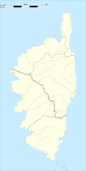 Belvédère-Campomoro | |
| Coordinates: 41°37′43″N 8°48′56″E / 41.6286°N 8.8156°E | |
| Country | France |
| Region | Corsica |
| Department | Corse-du-Sud |
| Arrondissement | Sartène |
| Canton | Sartenais-Valinco |
| Government | |
| • Mayor (2021–2026) | Don Georges Simeoni[1] |
| Area 1 | 26.37 km2 (10.18 sq mi) |
| Population | 177 |
| • Density | 6.7/km2 (17/sq mi) |
| Time zone | UTC+01:00 (CET) |
| • Summer (DST) | UTC+02:00 (CEST) |
| INSEE/Postal code | 2A035 /20110 |
| Elevation | 0–442 m (0–1,450 ft) |
| 1 French Land Register data, which excludes lakes, ponds, glaciers > 1 km2 (0.386 sq mi or 247 acres) and river estuaries. | |
Belvédère-Campomoro (French pronunciation: [bɛlvedɛʁ kɑ̃pɔmɔʁo]; Italian: Belvedere-Campomoro, [ˌbɛlveˈdere kampoˈmɔro]; Corsican: Belvideri è Campumoru or Bilvidè è Campumoru) is a commune in the French department of Corse-du-Sud on the island of Corsica.
Population
| Year | Pop. | ±% |
|---|---|---|
| 1962 | 62 | — |
| 1968 | 90 | +45.2% |
| 1975 | 82 | −8.9% |
| 1982 | 106 | +29.3% |
| 1990 | 128 | +20.8% |
| 1999 | 135 | +5.5% |
| 2008 | 165 | +22.2% |
See also
References
- ↑ "Répertoire national des élus: les maires" (in French). data.gouv.fr, Plateforme ouverte des données publiques françaises. 4 May 2022.
- ↑ "Populations légales 2021". The National Institute of Statistics and Economic Studies. 28 December 2023.
Wikimedia Commons has media related to Belvédère-Campomoro.
This article is issued from Wikipedia. The text is licensed under Creative Commons - Attribution - Sharealike. Additional terms may apply for the media files.