Bergesida | |
|---|---|
Village | |
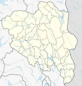 Bergesida Location of the village 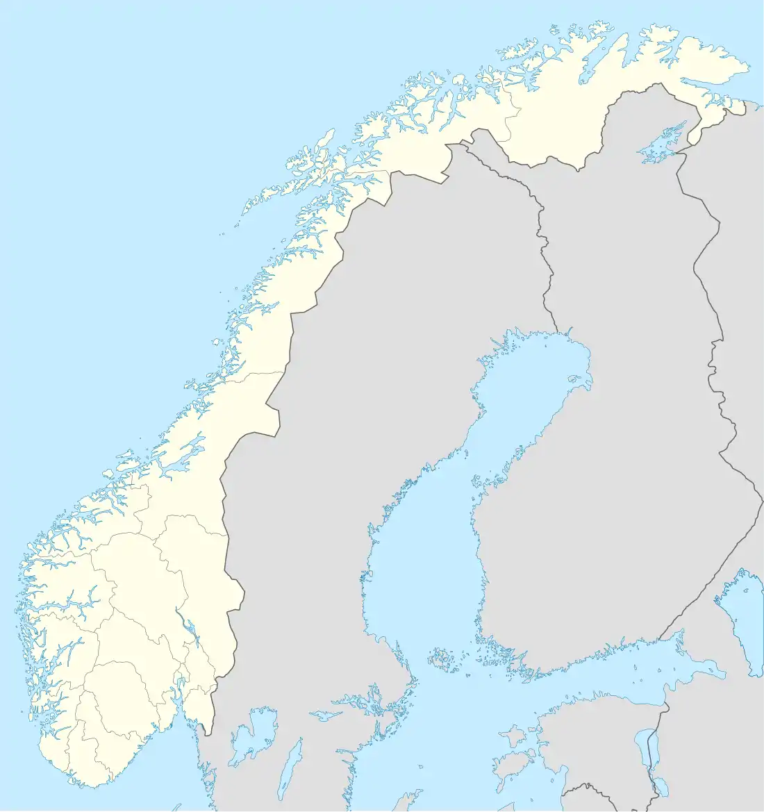 Bergesida Bergesida (Norway) | |
| Coordinates: 60°27′18″N 12°05′59″E / 60.45495°N 12.09983°E | |
| Country | Norway |
| Region | Eastern Norway |
| County | Innlandet |
| District | Solør |
| Municipality | Grue Municipality |
| Area | |
| • Total | 0.13 km2 (0.05 sq mi) |
| Elevation | 211 m (692 ft) |
| Population (2009)[1] | |
| • Total | 205 |
| • Density | 1,576.9/km2 (4,084/sq mi) |
| Time zone | UTC+01:00 (CET) |
| • Summer (DST) | UTC+02:00 (CEST) |
| Post Code | 2260 Kirkenær |
Bergesida is a village in Grue Municipality in Innlandet county, Norway. The village is located about 3 kilometres (1.9 mi) east of the village of Kirkenær. The lake Gardsjøen (Grue) lies just south of the village.
The 0.13-square-kilometre (32-acre) village had a population (2009) of 205 and a population density of 1,576.9 inhabitants per square kilometre (4,084/sq mi). Since 2010, the population and area data for this village area has not been separately tracked by Statistics Norway.[1]
References
- 1 2 3 Statistisk sentralbyrå (17 March 2022). "04859: Area and population of urban settlements (US) 2000 - 2021".
- ↑ "Bergesida, Grue". yr.no. Retrieved 17 March 2022.
This article is issued from Wikipedia. The text is licensed under Creative Commons - Attribution - Sharealike. Additional terms may apply for the media files.