Berlanga de Duero | |
|---|---|
.jpg.webp) | |
 Flag  Seal | |
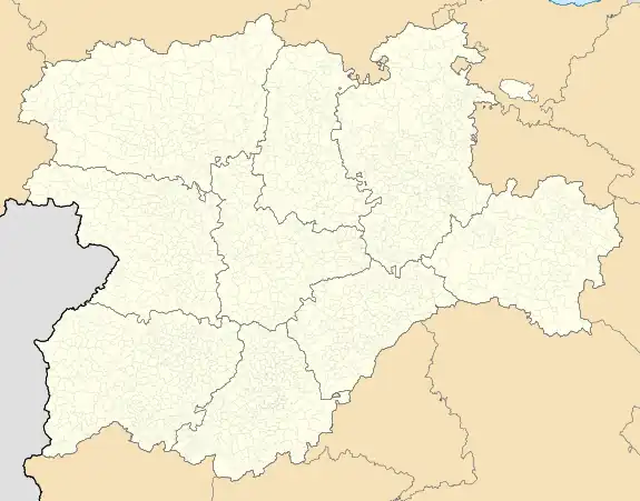
 Berlanga de Duero Location in Spain  Berlanga de Duero Berlanga de Duero (Spain) | |
| Coordinates: 41°27′54″N 2°51′40″W / 41.46500°N 2.86111°W | |
| Country | |
| Autonomous community | |
| Province | |
| Comarca | Comunidad de villa y tierra de Berlanga |
| Area | |
| • Total | 220.18 km2 (85.01 sq mi) |
| Elevation | 936 m (3,071 ft) |
| Population (2018)[1] | |
| • Total | 877 |
| • Density | 4.0/km2 (10/sq mi) |
| Time zone | UTC+1 (CET) |
| • Summer (DST) | UTC+2 (CEST) |
| Website | Official website |
Berlanga de Duero is a municipality located in the province of Soria, in the autonomous region of Castile and León, Spain. According to the 2017 census (conducted by the INE), the municipality has a population of 902 inhabitants.
Geography
Berlanga de Duero sits at 934 metres (3,064 ft) above sea level in the northeastern foothills of the Ayllón mountain range. It has a continental Mediterranean climate, with long, cool winters—due in part to its altitude. The town is bisected by the Douro river, from which it derives part of its name, as well as the Douro's tributaries, the Escalote and Talegones.
Climate
| Month | Jan | Feb | Mar | Apr | May | Jun | Jul | Aug | Sep | Oct | Nov | Dec | Year |
|---|---|---|---|---|---|---|---|---|---|---|---|---|---|
| Mean daily maximum °C (°F) | 6.3 (43.3) |
8.2 (46.8) |
11.9 (53.4) |
14.7 (58.5) |
18.6 (65.5) |
24 (75) |
28.1 (82.6) |
27.6 (81.7) |
23.5 (74.3) |
16.3 (61.3) |
10.8 (51.4) |
7.3 (45.1) |
16.4 (61.5) |
| Daily mean °C (°F) | 2.2 (36.0) |
3.4 (38.1) |
6.3 (43.3) |
8.8 (47.8) |
12.3 (54.1) |
16.8 (62.2) |
20.2 (68.4) |
19.9 (67.8) |
16.5 (61.7) |
10.7 (51.3) |
6 (43) |
3.3 (37.9) |
10.5 (50.9) |
| Mean daily minimum °C (°F) | −1.9 (28.6) |
−1.4 (29.5) |
0.7 (33.3) |
2.8 (37.0) |
5.9 (42.6) |
9.6 (49.3) |
12.2 (54.0) |
12.1 (53.8) |
9.5 (49.1) |
5 (41) |
1.2 (34.2) |
−0.7 (30.7) |
4.6 (40.3) |
| Average precipitation mm (inches) | 37 (1.5) |
38 (1.5) |
40 (1.6) |
43 (1.7) |
58 (2.3) |
46 (1.8) |
23 (0.9) |
22 (0.9) |
40 (1.6) |
44 (1.7) |
46 (1.8) |
47 (1.9) |
484 (19.1) |
| Source: Ministerio de Agricultura, Alimentación y Medio Ambiente. Datos de precipitación para el periodo 1961-2003 y de temperatura para el periodo 1961-2003 en Berlanga de Duero (6558).[2] | |||||||||||||
Gallery
 Fountain in Berlanga with Berlanga Castle in the background
 Renaissance-style Palace of Brías, Berlanga de Duero.
 Castle of Berlanga de Duero
References
- ↑ Municipal Register of Spain 2018. National Statistics Institute.
- ↑ Ministerio de Agricultura, Alimentación y Medio Ambiente. "Programa SIGA. Promedios climáticos en la estación 6558 de Berlanga de Duero". Archived from the original on 2014-10-21. Retrieved April 16, 2012.
External links
 Media related to Berlanga de Duero at Wikimedia Commons
- web del Ayuntamiento de Berlanga
- De la parte Berlanga
- El románico soriano
- La frontera del Duero
This article is issued from Wikipedia. The text is licensed under Creative Commons - Attribution - Sharealike. Additional terms may apply for the media files.
