Caltojar | |
|---|---|
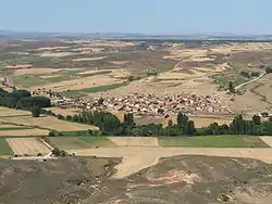 Aerial view of Caltojar | |
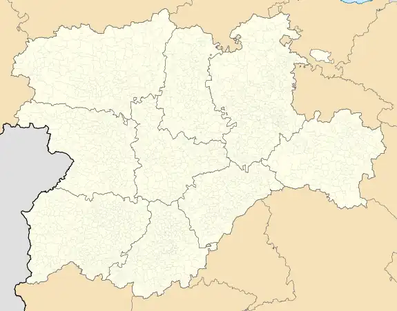 Caltojar Location in Spain.  Caltojar Caltojar (Spain) | |
| Coordinates: 41°24′13″N 2°45′47″W / 41.40361°N 2.76306°W | |
| Country | |
| Autonomous community | |
| Province | |
| Municipality | Caltojar |
| Area | |
| • Total | 84.36 km2 (32.57 sq mi) |
| Elevation | 961 m (3,153 ft) |
| Population (2018)[1] | |
| • Total | 57 |
| • Density | 0.68/km2 (1.7/sq mi) |
| Time zone | UTC+1 (CET) |
| • Summer (DST) | UTC+2 (CEST) |
Caltojar is a municipality located in the province of Soria, Castile and León, Spain. According to the 2004 census (INE), the municipality had a population of 111 inhabitants. The municipality includes the villages of Bordecorex and Casillas de Berlanga.
.jpg.webp)
Saint Michael's church, built in the 12th century.
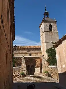
Facade of Saint Michael's church.
.JPG.webp)
La Veruela Atalaya.
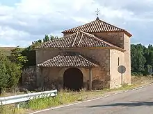
Nuestra Señora de la Soledad hermitage.
References
- ↑ Municipal Register of Spain 2018. National Statistics Institute.

This article is issued from Wikipedia. The text is licensed under Creative Commons - Attribution - Sharealike. Additional terms may apply for the media files.