| Biggera Creek Dam | |
|---|---|
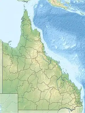
 Location of the Biggera Creek Dam in Queensland | |
| Country | Australia |
| Location | South East Queensland |
| Coordinates | 27°56′54″S 153°22′59″E / 27.94833°S 153.38306°E |
| Purpose | Flood mitigation |
| Status | Operational |
| Operator(s) | Gold Coast City Council |
| Dam and spillways | |
| Impounds | Biggera Creek |
| Reservoir | |
| Total capacity | 3,700 ML (810×106 imp gal; 980×106 US gal) |
The Biggera Creek Dam, or formally the Biggera Creek Flood Mitigation Dam, is a dam established for flood mitigation purposes over the Biggera Creek, located in the South East region of Queensland, Australia. The dam is situated approximately 3 kilometres (1.9 mi) northwest of Southport in the suburb of Arundel. It is operated by the Gold Coast City Council.
The dam has a capacity of 3,700 megalitres (810×106 imp gal; 980×106 US gal) and the height of the dam wall is 12.5 meters (41 feet).[1]
Because its sole purpose is flood mitigation, the retention basin behind the dam is almost always empty of water.
See also
References
- ↑ "Biggera Creek Dam Emergency Action Plan" (PDF). Department of Natural Mines and Resources. 28 December 2018. Retrieved 17 May 2019.
External links
- "Loders Creek and Biggera Creek Catchments Study Guide" (PDF) (PDF). Gold Coast City Council. May 2011.
- Bradley, John. "Rapid assessment of flood mitigation benefits of dams" (PDF) (PDF). Queensland Flood Commission.
This article is issued from Wikipedia. The text is licensed under Creative Commons - Attribution - Sharealike. Additional terms may apply for the media files.