Șona
Szépmező | |
|---|---|
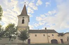 Fortified church in Șona | |
 Coat of arms | |
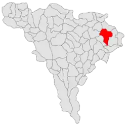 Location in Alba County | |
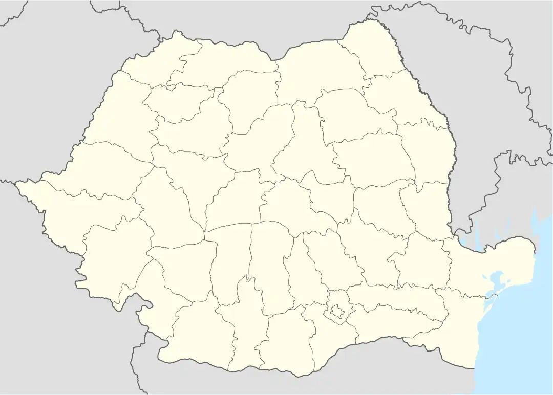 Șona Location in Romania | |
| Coordinates: 46°13′N 24°01′E / 46.217°N 24.017°E | |
| Country | Romania |
| County | Alba |
| Government | |
| • Mayor (2020–2024) | Teodor-Florin Mărginean[1] (PNL) |
| Area | 105.8 km2 (40.8 sq mi) |
| Elevation | 286 m (938 ft) |
| Population (2021-12-01)[2] | 3,782 |
| • Density | 36/km2 (93/sq mi) |
| Time zone | EET/EEST (UTC+2/+3) |
| Postal code | 517755 |
| Area code | +40 258 |
| Vehicle reg. | AB |
| Website | comunasona |
Șona (German: Schönau; Hungarian: Szépmező) is a commune located in Alba County, Transylvania, Romania. It is composed of seven villages: Alecuș (Elekes), Biia (Magyarbénye), Doptău (Dobtanya), Lunca Târnavei (until 1964 Spini; Kistövis), Sânmiclăuș (Betlenszentmiklós), Șona, and Valea Sasului (Szászvölgy).
The commune lies on the Transylvanian Plateau, on the banks of the Târnava Mică River. It is located in the northeastern part of the county, 10 km (6.2 mi) from Blaj and 50 km (31 mi) from the county seat, Alba Iulia.
At the 2011 census, 68.5% of inhabitants were Romanians, 25.2% Hungarians, and 5.8% Roma.
Notable sights include the Șona fortified church, dating to the 16th century, and the Bethlen castle in Sânmiclăuș, dating to the 17th century.
Natives
References
- ↑ "Results of the 2020 local elections". Central Electoral Bureau. Retrieved 6 June 2021.
- ↑ "Populaţia rezidentă după grupa de vârstă, pe județe și municipii, orașe, comune, la 1 decembrie 2021" (XLS). National Institute of Statistics.
.JPG.webp)
.JPG.webp)
.JPG.webp)
.JPG.webp)