Poiana Vadului | |
|---|---|
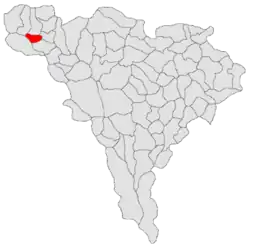 Location in Alba County | |
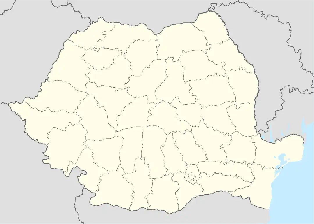 Poiana Vadului Location in Romania | |
| Coordinates: 46°24′N 22°53′E / 46.400°N 22.883°E | |
| Country | Romania |
| County | Alba |
| Government | |
| • Mayor (2020–2024) | Beniamin Toader (PNL) |
| Area | 69.05 km2 (26.66 sq mi) |
| Elevation | 793 m (2,602 ft) |
| Population (2021-12-01)[1] | 942 |
| • Density | 14/km2 (35/sq mi) |
| Time zone | EET/EEST (UTC+2/+3) |
| Postal code | 517545 |
| Area code | (+40) 02 58 |
| Vehicle reg. | AB |
| Website | poianavadului |
Poiana Vadului (until 1968 Neagra; German: Schwarzenthal; Hungarian: Feketevölgy) is a commune located in Alba County, Transylvania, Romania. It has a population of 942 as of 2021, and is composed of eleven villages: Costești, Duduieni, Făgetu de Jos, Făgetu de Sus, Hănășești, Lupăiești, Morcănești, Păștești, Petelei, Poiana Vadului, and Stănești.
The commune is located in the northwestern corner of the county, in the Bihor Mountains; it is a starting point for ascending the Cucurbăta Mare peak, which is, at 1,849 m (6,066 ft), the highest peak in the Apuseni Mountains range. Situated in the Țara Moților ethnogeographical region, Poiana Vadului lies at a distance of 19 km (12 mi) from Câmpeni and 98 km (61 mi) from the county seat, Alba Iulia.