| Blofield Heath | |
|---|---|
 | |
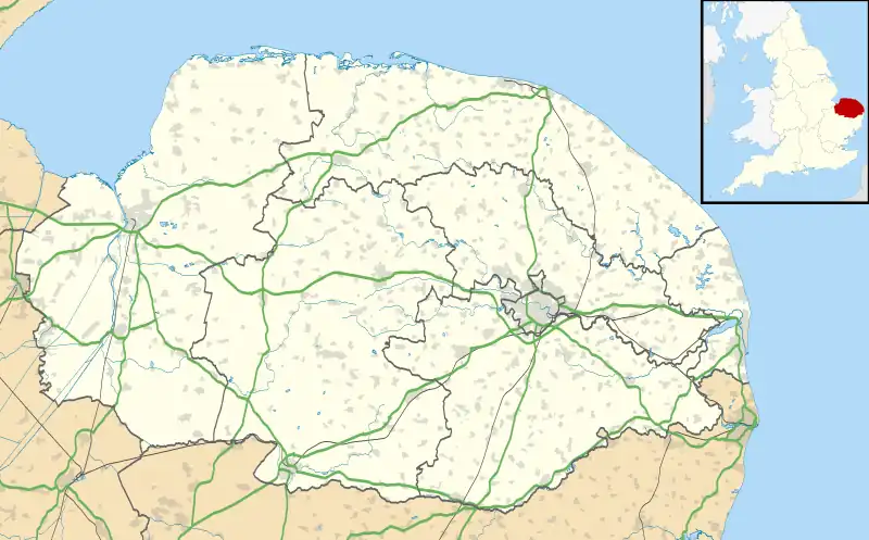 Blofield Heath Location within Norfolk | |
| Area | 0.7750 km2 (0.2992 sq mi) |
| Population | 1,488 (2020 estimate) |
| • Density | 1,920/km2 (5,000/sq mi) |
| Civil parish | |
| District | |
| Shire county | |
| Region | |
| Country | England |
| Sovereign state | United Kingdom |
Blofield Heath is a hamlet in the civil parish of Blofield, in the Broadland district, in the county of Norfolk, England. It is about 7 miles from Norwich. In 2020 it had an estimated population of 1488.[1] Blofield Heath has a post office[2] and Indian restaurant called the Tamarind Blofield,[3] it formerly had a primitive Methodist Chapel.[4] Blofield Heath is separated from Blofield village by the A47.[5]
References
- ↑ "Blofield Heath". City Population De. Retrieved 1 July 2022.
- ↑ "Blofield Heath Post Office". Post Office. Retrieved 1 July 2022.
- ↑ "Home". Tamarind Blofield. Retrieved 1 July 2022.
- ↑ "Former primitive Methodist Chapel, Blofield heath, Norwich". Norfolk Heritage Explorer. Retrieved 1 July 2022.
- ↑ "Blofield Neighbourhood Plan". South Norfolk Council. Retrieved 1 July 2022.
External links
Wikimedia Commons has media related to Blofield Heath.
- "Blofield Heath and Hemblington cluster Settlement Hierarchy" (PDF). GNLP. Retrieved 1 July 2022.
This article is issued from Wikipedia. The text is licensed under Creative Commons - Attribution - Sharealike. Additional terms may apply for the media files.