Bobo Dioulasso Airport | |||||||||||
|---|---|---|---|---|---|---|---|---|---|---|---|
 | |||||||||||
| Summary | |||||||||||
| Airport type | Public | ||||||||||
| Operator | Government | ||||||||||
| Serves | Bobo Dioulasso, Burkina Faso | ||||||||||
| Elevation AMSL | 1,511 ft / 461 m | ||||||||||
| Coordinates | 11°09′36.479″N 004°19′51.121″W / 11.16013306°N 4.33086694°W | ||||||||||
| Map | |||||||||||
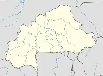 BOY Location within Burkina Faso | |||||||||||
| Runways | |||||||||||
| |||||||||||
| Statistics (2020) | |||||||||||
| |||||||||||
Bobo Dioulasso Airport (IATA: BOY, ICAO: DFOO) is an international airport in Bobo Dioulasso, Burkina Faso.
The airport has commercial flights to Ouagadougou and to the Ivory Coast.
DFOO is served by a VOR/DME and NDBs and Runway 06 has a Category I ILS. There are also GNSS, VOR and ADF approaches to each runway.
Airlines and destinations
| Airlines | Destinations |
|---|---|
| Air Burkina | Abidjan, Ouagadougou |
Statistics
Annual passenger traffic at BOY airport.
See Wikidata query.
References
- ↑ Entry for Bobo Dioulasso Airport in ASECNA AIP Archived 20 August 2018 at the Wayback Machine Accessed 2017-05-26
- ↑ "Airport information for DFOO". World Aero Data. Archived from the original on 5 March 2019.
{{cite web}}: CS1 maint: unfit URL (link) Data current as of October 2006. Source: DAFIF. - ↑ Airport information for DFOO at Great Circle Mapper. Source: DAFIF (effective October 2006).
- ↑ "ANNUAIRE STATISTIQUE 2020" [Yearly Statistics 2020] (PDF; 1.608 KB). insd.bf (in French). Institut national de la statistique et de la démographie (INSD). p. 257. Retrieved 11 February 2023.
External links
- Official ASECNA Aeronautical Publication for Burkina Faso
- Current weather for DFOO at NOAA/NWS
- Accident history for BOY at Aviation Safety Network
This article is issued from Wikipedia. The text is licensed under Creative Commons - Attribution - Sharealike. Additional terms may apply for the media files.