Kaya Airport | |||||||||||
|---|---|---|---|---|---|---|---|---|---|---|---|
| Summary | |||||||||||
| Airport type | Public | ||||||||||
| Serves | Kaya | ||||||||||
| Location | |||||||||||
| Elevation AMSL | 984 ft / 300 m | ||||||||||
| Coordinates | 13°4′38.5″N 1°6′1.0″W / 13.077361°N 1.100278°W | ||||||||||
| Map | |||||||||||
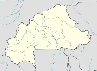 DFCA Location of Kaya Airport in Burkina Faso | |||||||||||
| Runways | |||||||||||
| |||||||||||
Kaya Airport (IATA: XKY, ICAO: DFCA) is a public use airport located near Kaya, Sanmatenga, Burkina Faso.
See also
References
- ↑ Airport record for Kaya Airport at Landings.com. Retrieved 2013-08-22
- ↑ Google (2013-08-22). "location of Kaya Airport" (Map). Google Maps. Google. Retrieved 2013-08-22.
External links
- Airport record for Kaya Airport at Landings.com
This article is issued from Wikipedia. The text is licensed under Creative Commons - Attribution - Sharealike. Additional terms may apply for the media files.