| Boot Pond | |
|---|---|
 Boot Pond  Boot Pond | |
| Location | Plymouth, Massachusetts |
| Coordinates | 41°53′45″N 70°39′45″W / 41.89583°N 70.66250°W |
| Basin countries | United States |
| Surface area | 76 acres (31 ha) |
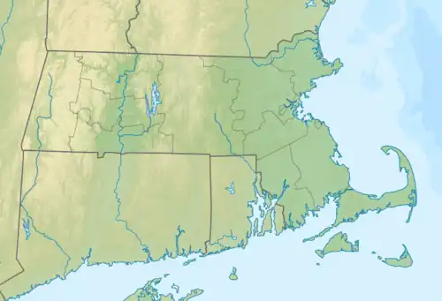
Boot Pond is a 76-acre (310,000 m2) pond in Plymouth, Massachusetts within the Eel River watershed. The pond is located west of South Pond village, northwest of Gunners Exchange Pond and Hoyts Pond, and north of Myles Standish State Forest. The pond is a secondary municipal water supply for the Town of Plymouth.
Boot Pond was so named on account of its boot-shaped outline.[1]
References
- ↑ Davis, William Thomas (1883). Ancient Landmarks of Plymouth: Part I. Historical Sketch and Titles of Estates. Part II. Genealogical Register of Plymouth Families. A. Williams. p. 150.
External links
This article is issued from Wikipedia. The text is licensed under Creative Commons - Attribution - Sharealike. Additional terms may apply for the media files.