| Long Pond | |
|---|---|
 Boat ramp | |
 Long Pond  Long Pond | |
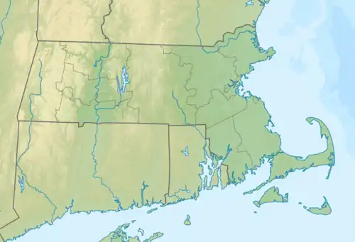
| Location | Plymouth, Massachusetts |
| Coordinates | 41°51′30″N 70°36′15″W / 41.85833°N 70.60417°W |
| Type | Pond |
| Primary inflows | Little Long Pond and groundwater |
| Primary outflows | Pond bottom |
| Basin countries | United States |
| Surface area | 211 acres (85 ha) |
| Average depth | 46 ft (14 m) |
| Max. depth | 100 ft (30 m) |
| Settlements | Long Pond village |
Long Pond is a 211-acre (0.85 km2) cold water pond in Plymouth, Massachusetts, east of Myles Standish State Forest, Halfway Pond and Round Pond, west of Route 3 at Exit 3 and The Pinehills, northwest of Bloody Pond, and north of West Wind Shores. The pond has an average depth of 46 feet (14 m) and a maximum depth of 100 feet (30 m). It is fed by groundwater and an inlet from Little Long Pond, and drains through the pond bottom. A paved boat ramp provided by the Public Access Board with ample parking spaces is easily accessible from Route 3. The Pond has a 50 hp limitation on boating.[1]
Long Pond village
The village of the same name to the southwest of the pond includes Faunce Church 41°50′50″N 70°36′17″W / 41.84722°N 70.60472°W.
See also
References
- ↑ "Six Ponds Improvement Association". Six Ponds Improvement Association.
External links
This article is issued from Wikipedia. The text is licensed under Creative Commons - Attribution - Sharealike. Additional terms may apply for the media files.