| Bras de Bronne | |
|---|---|
  | |
| Location | |
| Country | France |
| Physical characteristics | |
| Source | |
| • location | Artois |
| Mouth | |
• location | Canche |
• coordinates | 50°27′9″N 1°49′14″E / 50.45250°N 1.82056°E |
| Length | 11 km (6.8 mi) |
| Basin features | |
| Progression | Canche→ English Channel |
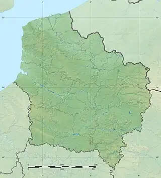
The Bras de Bronne (sometimes spelled Bras de Brosne) is a small river in northern France whose 10.8 km (6.7 mi) course crosses the departement of the Pas-de-Calais.[1]
Its source is at the hamlet of Etreuille, near the village of Saint-Michel-sous-Bois. It flows through the communes of Humbert, Sempy, Aix-en-Issart, Marant, Marenla and joins the river Canche at Marles-sur-Canche.
In winter, it is fed by an even smaller river at the commune of Quilen.
There's an ancient watermill at Sempy.
References
This article is issued from Wikipedia. The text is licensed under Creative Commons - Attribution - Sharealike. Additional terms may apply for the media files.