| Brookthorpe-with-Whaddon | |
|---|---|
_St_Margaret's_Church_-_geograph.org.uk_-_68396.jpg.webp) Saint Margaret's Church, Whaddon | |
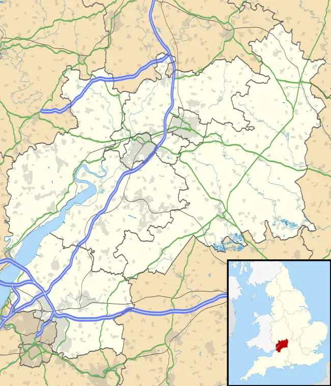
 Brookthorpe-with-Whaddon Location within Gloucestershire | |
| Population | 322 (2011) |
| OS grid reference | SO837121 |
| Civil parish |
|
| District | |
| Shire county | |
| Region | |
| Country | England |
| Sovereign state | United Kingdom |
| Post town | Gloucester |
| Postcode district | GL4 |
| Dialling code | 01452 |
| Police | Gloucestershire |
| Fire | Gloucestershire |
| Ambulance | South Western |
| UK Parliament | |
Brookthorpe-with-Whaddon, formerly just Brookthorpe is a civil parish in the Stroud district of Gloucestershire, England.[1] According to the 2001 census it had a population of 308, increasing to 322 at the 2011 census. In 2019 the population was estimated at 395.[2] It consists of the small villages of Brookthorpe and Whaddon, both to the south of Gloucester.
Whaddon is almost contiguous with the Gloucester suburb of Tuffley,[3] while Brookthorpe is 1 mile (1.6 km) farther south, on the other side of the M5 motorway and close to the escarpment of the Cotswold hills.
To the north of the parish is the unparished area of the City of Gloucester. Parishes adjoining Brookthorpe-with-Whaddon are: Upton St Leonards to the north-east; Painswick to the east; Harescombe to the south; Haresfield to the south-west; and Quedgeley to the west. The last is in Gloucester district, the others are in Stroud district.
History
On 1 April 1935 the parish of Whaddon was merged with Brookthorpe,[4] on 3 July 1956 the parish was renamed "Brookthorpe with Whaddon".[5]
References
- ↑ "Brookthorpe-with-Whaddon Parish Council". Stroud District Council. Retrieved 17 July 2020.
- ↑ "Local Insight profile for 'Brookthorpe-with-Whaddon CP' area" (PDF). Gloucestershire County Council. Retrieved 17 July 2020.
- ↑ Stilliard, Ed. "Gloucester MP slams plans for 3,000 homes and new school in Tuffley". Gloucestershire Live. Archived from the original on 9 October 2019. Retrieved 17 July 2020.
- ↑ "Gloucester Registration District". UKBMD. Retrieved 6 December 2022.
- ↑ "Gloucester Rural Registration District". UKBMD. Retrieved 6 December 2022.
External links