| Scottish Gaelic name | Buc-Innis |
|---|---|
| Meaning of name | Buck, or Male Goat Island |
| Location | |
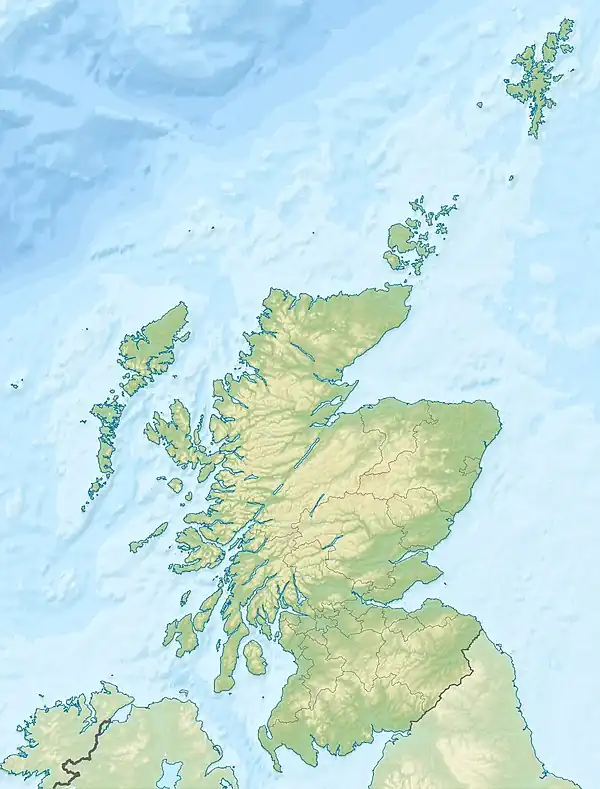
 Bucinch Bucinch shown within Scotland | |
| OS grid reference | NS387918 |
| Coordinates | 56°05′N 4°35′W / 56.09°N 4.59°W |
| Physical geography | |
| Island group | Loch Lomond |
| Area | ha |
| Highest elevation | 24 m |
| Administration | |
| Sovereign state | United Kingdom |
| Country | Scotland |
| Council area | Stirling |
| Demographics | |
| Population | 0 |
| References | [1][2] |

Bucinch
Bucinch or Buc-Innis (Scottish Gaelic: "Buck Island" or "Male Goat Island") is a small island in Loch Lomond, in west central Scotland.
The heavily wooded island lies due north of Inchcruin[3] and rises steeply from a rocky coastline[4] to 24 metres (79 feet)[5] in a central summit.[6]
Along with smaller neighbour, Ceardach, Bucinch was donated to the National Trust for Scotland by Col Charles L Spencer of Warmanbie, Dumfries, in 1943.[6][7] Although uninhabited for centuries, there are remains of a stone jetty.[4]
Footnotes
- ↑ 2001 UK Census per List of islands of Scotland
- ↑ Ordnance Survey
- ↑ Worsley, Harry (1988). Loch Lomond: The Loch, the Lairds and the Legends. Glasgow: Lindsay Publications. ISBN 978-1-898169-34-5.
- 1 2 "Buccinch". Loch Lomond net. Archived from the original on 30 December 2008. Retrieved 25 September 2008.
- ↑ "Overview of Buccinch". Gazetteer for Scotland. Retrieved 25 September 2008.
- 1 2 "Introduction to Loch Lomond Islands". Callander, Trossachs and Loch Lomond. Archived from the original on 18 June 2002. Retrieved 29 October 2008.
- ↑ "Bucinch & Ceardach". About Britain.com. Retrieved 25 September 2008.
External links
Wikimedia Commons has media related to Bucinch.
56°05′30″N 4°35′39″W / 56.09169°N 4.59425°W
This article is issued from Wikipedia. The text is licensed under Creative Commons - Attribution - Sharealike. Additional terms may apply for the media files.