Bunkpurugu | |
|---|---|
District Capital | |
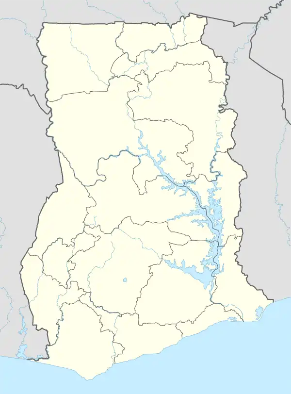
 Bunkpurugu Location of Bunkpurugu in North East region | |
| Coordinates: 10°31′N 0°6′W / 10.517°N 0.100°W | |
| Country | Ghana |
| Region | North East region |
| District | Bunkpurugu Nyankpanduri District |
| Elevation | 751 ft (229 m) |
| Population (2013) | |
| • Total | — |
| Time zone | GMT |
| • Summer (DST) | GMT |
Bunkpurugu is a small town and is the capital of Bunkpurugu Nyankpanduri district, a district in the North East Region of Ghana adjacent to the border with Togo.[1] It was formerly the capital of the Bunkpurugu-Yunyoo District.[2][3]
References
- ↑ "Bunkpurugu Nyankpanduri District Assembly". ghanadistricts.gov.gh. Retrieved 5 June 2021.
- ↑ Bunkpurugu-Yunyoo District Archived 2013-06-14 at the Wayback Machine
- ↑ Bureau, Communications. "North East Region Created; Nalerigu Is Capital". presidency.gov.gh. Retrieved 2020-08-25.
10°31′N 0°06′E / 10.517°N 0.100°E
This article is issued from Wikipedia. The text is licensed under Creative Commons - Attribution - Sharealike. Additional terms may apply for the media files.
.png.webp)