Gambaga | |
|---|---|
District Capital | |
 Gambaga Location in Ghana | |
| Coordinates: 10°31′50″N 0°26′32″W / 10.53056°N 0.44222°W | |
| Country | |
| Region | Northern Region |
| District | East Mamprusi District |
Gambaga is the capital of the East Mamprusi Municipal Assembly in the North East Region of Ghana. Once a residence of Mamprusi-kings it is still the capital of East Mamprusi Municipal Assembly, a municipality in the North East Region of Ghana.[1] It is home to several ancient Mossi chiefs' gravesites.
From 1901 until 1957 Gambaga served as the capital of the Northern Territories of the Gold Coast, which was a British protectorate and a separate jurisdiction from the Gold Coast.
Gambaga, along with other places in Ghana, is the site of a camp for alleged witches.
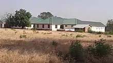
EAST MAMPRUSI MUNICIPAL ASSEMBLY(GAMBAGA)

EAST MAMPRUSI MUNICIPAL ASSEMBLY CAR PARK (Gambaga)

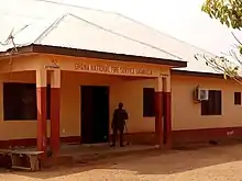
Gambaga SSNIT office (Gambaga).
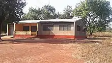
SNNIT FLAT (GAMBAGA)

Ghana Education Service (Gambaga)
Audit Service (Gambaga)
Ghana Prison Service (Gambaga)
WADERS CANTEEN (Gambaga)
Ghana Fire Service (Gambaga)
VRA Municipal office Gambaga
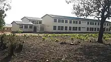
GAMBAGA GIRLS SENIOR HIGH SCHOOL DOMETRY
OFFICE OF THE DIVISIONAL POLICE COMMAND(GAMBAGA)
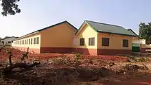
GAMBAGA GIRLS SENIOR HIGH SCHOOL NEW DOME-TRY
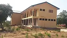
GAMBAGA GIRLS SENIOR HIGH SCHOOL NEW ADMINISTRATION BLOCK
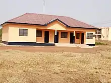
GAMBAGA GIRLS SENIOR HIGH SCHOOL DINING HALL
References
Wikimedia Commons has media related to Gambaga.
- ↑ Touring Ghana - Northern Region Archived 2008-08-28 at the Wayback Machine
10°31′50″N 0°26′32″W / 10.53056°N 0.44222°W
This article is issued from Wikipedia. The text is licensed under Creative Commons - Attribution - Sharealike. Additional terms may apply for the media files.