Cartes | |
|---|---|
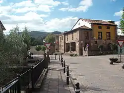 Cartes' Consistorial House | |
 Coat of arms | |
_Mapa.svg.png.webp) Location of Cartes | |
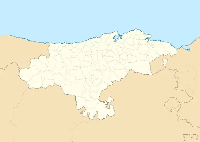 Cartes Location within Cantabria  Cartes Cartes (Spain) | |
| Coordinates: 43°19′32″N 4°4′5″W / 43.32556°N 4.06806°W | |
| Country | |
| Autonomous community | |
| Province | |
| Comarca | Besaya valley |
| Judicial district | Torrelavega |
| Capital | Cartes |
| Government | |
| • Alcalde | Saturnino Castanedo Saiz (2007) (PSC-PSOE) |
| Area | |
| • Total | 19.02 km2 (7.34 sq mi) |
| Elevation | 40 m (130 ft) |
| Population (2018)[1] | |
| • Total | 5,778 |
| • Density | 300/km2 (790/sq mi) |
| Time zone | UTC+1 (CET) |
| • Summer (DST) | UTC+2 (CEST) |
| Postal code | 39311 |
| Website | Official website |
Cartes is a municipality located in the autonomous community of Cantabria, Spain. According to the 2009 census, the city has a population of 5.118 inhabitants.
References
- ↑ Municipal Register of Spain 2018. National Statistics Institute.
External links
- Cartes - Cantabria 102 Municipios
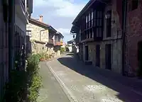
Streets in Cartes
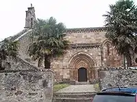
Church of Santa María, Yermo, municipality of Cartes
Wikimedia Commons has media related to Cartes.
This article is issued from Wikipedia. The text is licensed under Creative Commons - Attribution - Sharealike. Additional terms may apply for the media files.