| Ciletuh-Palabuhanratu Geopark | |
|---|---|
| Taman Bumi Ciletuh-Palabuhanratu | |
 Curug Cimarinjung waterfall | |
 | |
| Location | Pelabuhan Ratu, West Java, Indonesia |
| Nearest city | Sukabumi |
| Coordinates | 6°58′29″S 106°31′40″E / 6.974610°S 106.527763°E[1] |
| Area | 128,000 ha (320,000 acres) |
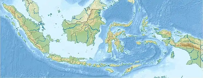
Ciletuh-Palabuhanratu Geopark (Indonesian: Taman Bumi Ciletuh-Palabuhanratu) is a national Geopark at Pelabuhan Ratu of Sukabumi Regency in West Java, Indonesia. It was recognized by UNESCO in 2015 as a national geopark. It was proposed to become a member of the Global Geopark Network (GGN) to be recognized by UNESCO by 2017. UNESCO made the park a part of the Global Geoparks Network in April 2018.[2]
The park has a land area of about 128,000 hectares. It is spread over 8 sub-districts and 74 villages of Pelabuhan Ratu.
Attractions
The park is a popular tourist destination.[3] Attractions of which are,
- Puncak Darma-It is the highest point of the park.
- Curug Sodong-waterfall
- Curug Awang-Waterfall
- Palangpang Beach
- Bukit Panenjoan-hill
- Curug Cimarinjung-waterfall
- Palabuhanratu Beach
- Lalay Cave Palabuhanratu
- Palabuhanratu Thermal Baths
See also
References
- ↑ Coordinates from wikidata
- ↑ "Ciletuh officially declared as UNESCO Global Geopark". Antara News. Retrieved 16 April 2018.
- ↑ "Two million flock to Palabuhanratu beach". Antara News. Retrieved 15 October 2017.
Wikimedia Commons has media related to Ciletuh-Palabuhanratu Geopark.
This article is issued from Wikipedia. The text is licensed under Creative Commons - Attribution - Sharealike. Additional terms may apply for the media files.