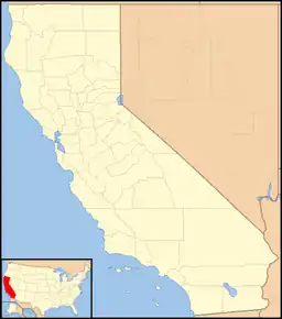
38°39′18″N 121°03′09″W / 38.65500°N 121.05250°W
Clarksville | |
|---|---|
 Clarksville Location in California  Clarksville Clarksville (the United States) | |
| Coordinates: 38°39′18″N 121°03′09″W / 38.65500°N 121.05250°W | |
| Country | United States |
| State | California |
| County | El Dorado County |
| Elevation | 676 ft (206 m) |
| Population (2010) | |
| • Total | 9 |
Clarksville (Tong Ranch) is an unincorporated community in El Dorado County, California.[1] It is located 14 miles (23 km) west-southwest of Placerville,[2] at an elevation of 676 feet (206 m).[1]
Clarksville was established during the California gold rush and at one point had over a thousand residents and several businesses. By 1931 only twenty residents remained.[3] Little remains today, but the Clarksville Heritage Society preserves the town's history.[4]
A post office operated at Clarksville from 1855 to 1924 and from 1927 to 1934.[2]
References
- 1 2 3 U.S. Geological Survey Geographic Names Information System: Clarksville, California
- 1 2 Durham, David L. (1998). California's Geographic Names: A Gazetteer of Historic and Modern Names of the State. Clovis, Calif.: Word Dancer Press. ISBN 1-884995-14-4.
- ↑ Belcher, Harry W. (January 25, 1931). ""Wimmen got the vote, run out saloons, and ruint everything," sighs aged Clarksville gold miner". The Sacramento Union. Sacramento, CA. Retrieved December 25, 2023.
- ↑ Burkett, Joanne (April 15, 1998). "Clarksville Heritage Society offers invitation to annual potluck". The Folsom Telegraph. Folsom, CA. Retrieved December 25, 2023.
External links
This article is issued from Wikipedia. The text is licensed under Creative Commons - Attribution - Sharealike. Additional terms may apply for the media files.
