 Cobia Island | |
| Geography | |
|---|---|
| Location | South Pacific |
| Coordinates | 16°45′0″S 179°59′7″E / 16.75000°S 179.98528°E |
| Archipelago | Ringgolds |
| Administration | |
Fiji | |
| Additional information | |
| Time zone |
|
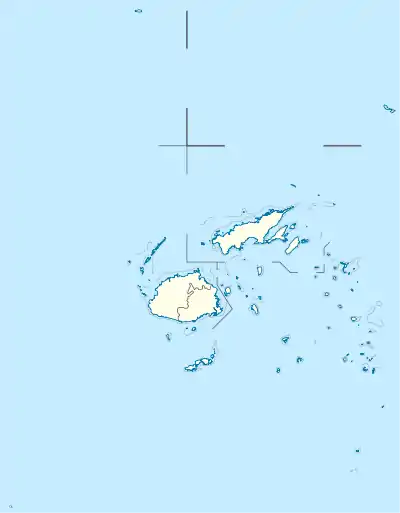
Cobia Island (also known as Thombia Island or Budd Island[1]) is an island in Fiji,[2] and is a member of the Ringgold Isles archipelago, which forms an outlier group to the northern island of Vanua Levu. It has a land area of 69.29 hectares. The island is shaped like a crescent moon.
Cobia Island is located within the Budd Reef and has a submerged volcanic crater with the highest elevation on the west side of the island.[3] The geological formations and the beach forests of the island contribute to its natural significance as outlined in Fiji's Biodiversity and Action Plan.[4]
The island is a popular snorkeling, kayaking and scuba diving location with a reported visibility under water of 120 feet or 36 meters.[5]
History
The island was considered a "conspicuous landmark" for navigators on ships sailing around and through the Fiji Islands.[6] The island and its surrounding reef were described in Alexander Agassiz's publication, The Islands and Coral Reefs of Fiji (1899).[7]
See also
References
- ↑ "Thombia Island". Get a Map. Retrieved 1 July 2015.
- ↑ "Cobia: Fiji". Geographical Names. Retrieved 1 July 2015.
- ↑ Taylor, Frank (28 June 2011). "Hiking the Crater of Cobia". Tahina Expedition. Retrieved 1 July 2015.
- ↑ Ganilau, Bernadette Rounds. "Fiji Biodiversity Strategy and Action Plan" (PDF). Convention on Biological Diversity. Retrieved 2 July 2015.
- ↑ "Cobia Is, Ringgolds, Fiji". Asia Escape Holidays. Archived from the original on 6 April 2020. Retrieved 1 July 2015.
- ↑ Lords Commissioners of the Admiralty (1882). Sailing Directions for the Fiji Islands and Adjacent Waters. London: Hydrographic Office, Admiralty. p. 104.
- ↑ Agassiz, Alexander (1899). "The Islands and Coral Reefs of Fiji". Bulletin of the Museum of Comparative Zoology. Harvard College. Retrieved 2 July 2015.