Qelelevu | |
|---|---|
Island | |
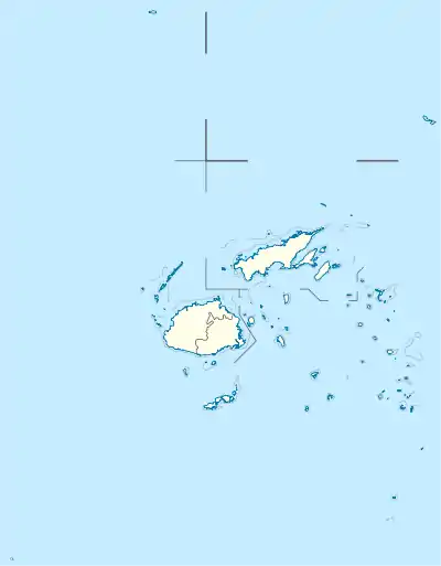
 Qelelevu Location in Fiji | |
| Coordinates: 16°05′S 179°10′W / 16.083°S 179.167°W | |
| Country | Fiji |
| Archipelago | Ringgold Isles |
| Area | |
| • Total | 1.5 km2 (0.6 sq mi) |
| Elevation | 12 m (39 ft) |
 Qelelevu | |
| Geography | |
|---|---|
| Coordinates | 16°05′S 179°10′W / 16.083°S 179.167°W |
| Archipelago | Ringgold Isles |
| Area | 1.5 km2 (0.58 sq mi) |
| Highest elevation | 12 m (39 ft) |
| Administration | |

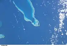
Qelelevu or Nggelelevu[1] is a coral islet in Fiji, a member of the Ringgold Isles archipelago, which forms an outlier to the northern island of Vanua Levu.
Geography
Apart from two nearby coral islets, Tai Ni Beka and Tauraria due west on the same atoll rim, it is 30 kilometres (19 mi) from the nearest island, which is Vetauua, to the West. Qelelevu covers an area of 1.5 square kilometers. Its maximum elevation is 18 metres (59 ft).[2]
Qelelevu lagoon lies 8 miles eastward of Thakau Vuthovutho reef.[3] The lagoon has three main passes allowing boats to enter: Rendell, Deep and Brown.[3] Qelelevu is one of the two only true atolls of Fiji, because it has an island and is not a mere coral reef.[4]
Most of the island is covered in palm trees and bushes.[3]
The small village of Nalutu (16°05′15″S 179°09′07″W / 16.087453°S 179.151907°W) is located on Qelelevu.[2] Fishing is the only significant economic activity.
The atoll habitat of the island contributes to its national significance as outlined in Fiji's Biodiversity Strategy and Action Plan.[5]
History
Qelelevu may have been first inhabited by people from Futuna. Later in time, people from Laucala arrived and soon dominated the population.[6] Qelelevu has been in the Laucala sphere of influence, as well as other islands like Naitauba, Namalata, Yacata and villages of Vutuna, Daliconi and Mavana on Vanua Balavu.[6]
References
- ↑ Center, United States Defense Mapping Agency Topographic (1974). Fiji, Tonga, and Nauru, Official Standard Names Approved by the United States Board on Geographic Names. U.S. Board on Geographic Names. p. 122.
- 1 2 Archéologia préhistoire et archéologie (in French). A. Fanton. 2000. p. 49.
- 1 2 3 Department, Great Britain Hydrographic (1943). Pacific Islands Pilot: Vol. II. The Central Groups Comprising New Caledonia and Iles Loyalty; the New Hebrides Group and Santa Cruz Islands; the Fiji Islands and the Tonga, Samoa, Ellice, Gilbert, Marshall, Phoenix and Tokelau Islands. Hydrographic Department, Admiralty. pp. 320–321.
- ↑ Robinson, Gaden Sutherland (1975). Macrolepidoptera of Fiji and Rotuma: A Taxonomic and Biogeographic Study. Classey. p. 8. ISBN 978-0-900848-81-0.
- ↑ Ganilau, Bernadette Rounds (2007). Fiji Biodiversity Strategy and Action Plan (PDF). Convention on Biological Diversity. pp. 107–112. Retrieved 28 May 2017.
- 1 2 Sayes, Shelley Ann (1984). "Changing paths of the land: Early political hierarchies in Cakaudrove, Fiji". The Journal of Pacific History. 19 (1): 3–20. doi:10.1080/00223348408572477. ISSN 0022-3344.