| Collington | |
|---|---|
 | |
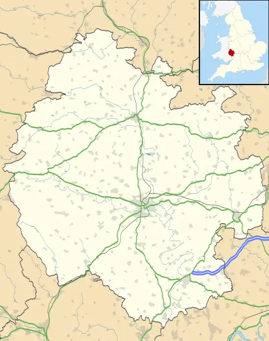
 Collington Location within Herefordshire | |
| Area | 4.044 km2 (1.561 sq mi) |
| Population | 61 (2001 census) |
| • Density | 15/km2 (39/sq mi) |
| Civil parish |
|
| Unitary authority | |
| Shire county | |
| Region | |
| Country | England |
| Sovereign state | United Kingdom |
Collington is a village and civil parish 15 miles (24 km) north east of Hereford,[1] in the county of Herefordshire, England. In 2001 the parish had a population of 61.[2] The parish touches Edvin Loach and Saltmarshe, Edwyn Ralph, Stoke Bliss, Tedstone Wafer, Thornbury and Wolferlow.[3] Collington shares a parish council with Edwyn Ralph and Thornbury called "Thornbury Group Parish Council".[4][5]
Landmarks
There are 7 listed buildings in Collington.[6] Collington has a church called St Mary.[7]
History
The name "Collington" means 'Farm/settlement connected with Cola/Col'.[8] Collington was recorded in the Domesday Book as Col(l)intune.[9] On 24 March 1884 Combe's Wood Houses (which had 1 house in 1891) was transferred from the parish of Edvin Loach to the parish.[10]
References
- ↑ "Distance from Collington [52.237051, 2.516298]". GENUKI. Retrieved 10 June 2021.
- ↑ "Neighbourhood Statistics". Archived from the original on 2 April 2015. Retrieved 10 June 2021.
- ↑ "Collington". Ordnance Survey. Retrieved 10 June 2021.
- ↑ "Thornbury Group Parish Council". Herefordshire Council. Retrieved 10 June 2021.
- ↑ "Home". Thornbury Group Parish Council. Retrieved 10 June 2021.
- ↑ "Listed buildings in Collington, Herefordshire". British Listed Buildings. Retrieved 10 June 2021.
- ↑ "Collington". Herefordshire Historic Churches Trust. Retrieved 10 June 2021.
- ↑ "Collington Key to English Place-names". The University of Nottingham. Retrieved 10 June 2021.
- ↑ "Herefordshire A-L". The Domesday Book Online. Retrieved 10 June 2021.
- ↑ "Relationships and changes Collington CP/AP through time". A Vision of Britain through Time. Retrieved 11 June 2021.
- "Collington". City Population De. Retrieved 10 June 2021.