Costacciaro | |
|---|---|
| Comune di Costacciaro | |
 | |
 Coat of arms | |
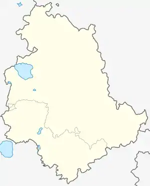
Location of Costacciaro | |
 Costacciaro Location of Costacciaro in Italy  Costacciaro Costacciaro (Umbria) | |
| Coordinates: 43°22′N 12°43′E / 43.367°N 12.717°E | |
| Country | Italy |
| Region | Umbria |
| Province | Perugia (PG) |
| Frazioni | Costa San Savino, Scirca, Villa Col dei Canali |
| Government | |
| • Mayor | Andrea Capponi |
| Area | |
| • Total | 41.06 km2 (15.85 sq mi) |
| Elevation | 567 m (1,860 ft) |
| Population (30 June 2017)[2] | |
| • Total | 1,184 |
| • Density | 29/km2 (75/sq mi) |
| Demonym | Costacciaroli |
| Time zone | UTC+1 (CET) |
| • Summer (DST) | UTC+2 (CEST) |
| Postal code | 06021 |
| Dialing code | 075 |
| Patron saint | Bl. Thomas of Costacciaro |
| Saint day | First Sunday in September |
| Website | Official website |
Costacciaro is a comune (municipality) in the Province of Perugia in the Italian region Umbria, located about 40 km northeast of Perugia. It is a medieval burgh, which, after the rule of Perugia and Gubbio, became part of the Papal States in the 15th century.
Hamlets (Frazioni) are Costa San Savino and Villa Col dei Canali.
Costacciaro borders the following municipalities: Fabriano, Gubbio, Sassoferrato, Scheggia e Pascelupo, Sigillo. The town was founded around 1250 by the commune of Gubbio as a stronghold against the nearby fortress of Sigillo, held by the commune of Perugia.
See also
References
- ↑ "Superficie di Comuni Province e Regioni italiane al 9 ottobre 2011". Italian National Institute of Statistics. Retrieved 16 March 2019.
- ↑ Data from Istat
External links
This article is issued from Wikipedia. The text is licensed under Creative Commons - Attribution - Sharealike. Additional terms may apply for the media files.