Vallo di Nera | |
|---|---|
| Comune di Vallo di Nera | |
 | |
 Coat of arms | |
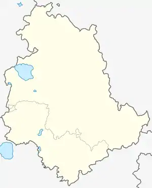
Location of Vallo di Nera | |
 Vallo di Nera Location of Vallo di Nera in Italy  Vallo di Nera Vallo di Nera (Umbria) | |
| Coordinates: 42°45′N 12°52′E / 42.750°N 12.867°E | |
| Country | Italy |
| Region | Umbria |
| Province | Perugia (PG) |
| Frazioni | Borbonea, Geppa, La Pieve, Le Campore, Meggiano, Monte Fiorello, Paterno, Piedilacosta, Piedipaterno, Roccagelli |
| Government | |
| • Mayor | Agnese Benedetti |
| Area | |
| • Total | 36.0 km2 (13.9 sq mi) |
| Elevation | 467 m (1,532 ft) |
| Population (2007)[2] | |
| • Total | 419 |
| • Density | 12/km2 (30/sq mi) |
| Demonym | Vallani |
| Time zone | UTC+1 (CET) |
| • Summer (DST) | UTC+2 (CEST) |
| Postal code | 06040 |
| Dialing code | 0743 |
| Patron saint | St.Giovanni Battista |
| Saint day | 24 June |
| Website | Official website |
Wikimedia Commons has media related to Vallo di Nera.
Vallo di Nera is a comune (municipality) in the Province of Perugia in the Italian region Umbria, located about 60 km southeast of Perugia. It is one of I Borghi più belli d'Italia ("The most beautiful villages of Italy").[3]
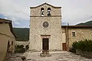
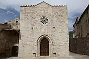
- Images of Vallo di Nera
 The church San Giovanni Battista
 The church Santa Maria
 The church San Rocco
References
External links
This article is issued from Wikipedia. The text is licensed under Creative Commons - Attribution - Sharealike. Additional terms may apply for the media files.