Cueva de Ágreda | |
|---|---|
 | |
 Flag  Seal | |
_Mapa.svg.png.webp) Location of Cueva de Ágreda in Soria Province | |
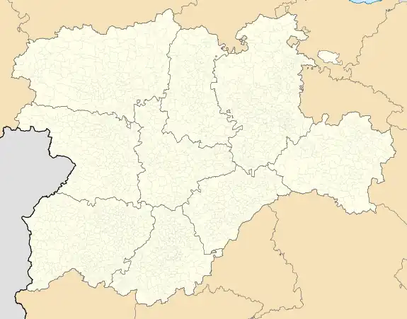 Cueva de Ágreda Location in Spain.  Cueva de Ágreda Cueva de Ágreda (Spain) | |
| Coordinates: 41°45′50″N 1°53′14″W / 41.76389°N 1.88722°W | |
| Country | |
| Autonomous community | |
| Province | |
| Municipality | Cueva de Ágreda |
| Area | |
| • Total | 29 km2 (11 sq mi) |
| Elevation | 1,301 m (4,268 ft) |
| Population (2018)[1] | |
| • Total | 65 |
| • Density | 2.2/km2 (5.8/sq mi) |
| Time zone | UTC+1 (CET) |
| • Summer (DST) | UTC+2 (CEST) |
| Website | Official website |

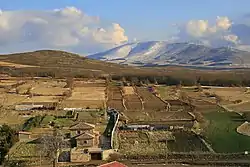
View of Cueva de Ágreda town with the massive summits of the Moncayo Massif in the background
Cueva de Ágreda is a municipality located in the province of Soria, Castile and León, Spain. According to the 2004 census (INE), the municipality has a population of 95 inhabitants.
The nearest main town is Ólvega.
References
- ↑ Municipal Register of Spain 2018. National Statistics Institute.
External links
Wikimedia Commons has media related to Cueva de Ágreda.

This article is issued from Wikipedia. The text is licensed under Creative Commons - Attribution - Sharealike. Additional terms may apply for the media files.