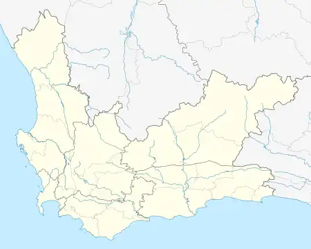
Da Gama Park | |
|---|---|
 Da Gama Park  Da Gama Park | |
| Coordinates: 34°09′40″S 18°24′11″E / 34.161°S 18.403°E | |
| Country | South Africa |
| Province | Western Cape |
| Municipality | City of Cape Town |
| Main Place | Simon's Town |
| Area | |
| • Total | 1.17 km2 (0.45 sq mi) |
| Population (2011)[1] | |
| • Total | 1,463 |
| • Density | 1,300/km2 (3,200/sq mi) |
| Racial makeup (2011) | |
| • Black African | 39.7% |
| • Coloured | 25.1% |
| • Indian/Asian | 14.5% |
| • White | 19.5% |
| • Other | 1.2% |
| First languages (2011) | |
| • English | 46.4% |
| • Afrikaans | 20.3% |
| • Xhosa | 9.6% |
| • Zulu | 8.0% |
| • Other | 15.6% |
| Time zone | UTC+2 (SAST) |
| Postal code (street) | 7975 |
Da Gama Park is a suburb of the City of Cape Town in the Western Cape province of South Africa.[2]
Da Gama Park was founded as a township in the former Simon's Town district, north-west of the town. Situated in the Else River Valley, it was established for men of the Navy and their families. It was named after Vasco da Gama (1460 or 1469-1524), the Portuguese navigator.[3]
References
- 1 2 3 4 "Sub Place Da Gama Park". Census 2011.
- ↑ "Official planning suburbs". Retrieved 17 March 2019.
- ↑ Raper, Peter E. (1987). Dictionary of Southern African Place Names. Internet Archive. p. 127. Retrieved 28 August 2013.
This article is issued from Wikipedia. The text is licensed under Creative Commons - Attribution - Sharealike. Additional terms may apply for the media files.
.svg.png.webp)