Westgate | |
|---|---|
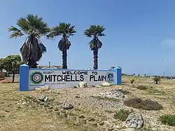 The "Welcome to Mitchells Plain" sign located in the north western corner of Westgate just across the road from Westgate mall. | |
 Westgate  Westgate | |
| Coordinates: 34°02′53″S 18°35′17″E / 34.048°S 18.588°E | |
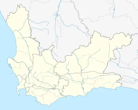
| Country | South Africa |
| Province | Western Cape |
| Municipality | City of Cape Town |
| Main Place | Mitchells Plain, Cape Town |
| Area | |
| • Total | 0.73 km2 (0.28 sq mi) |
| Population (2011)[1] | |
| • Total | 3,361 |
| • Density | 4,600/km2 (12,000/sq mi) |
| Racial makeup (2011) | |
| • Black African | 11.07% |
| • Coloured | 86.31% |
| • Indian/Asian | 0.83% |
| • White | 0.15% |
| • Other | 1.64% |
| First languages (2011) | |
| • Afrikaans | 12.59% |
| • English | 82.56% |
| • IsiXhosa | 2.56% |
| Time zone | UTC+2 (SAST) |
Westgate is a neighbourhood located within the Mitchells Plain urban area of the City of Cape Town in the Western Cape province of South Africa. It is located in the central western part of Mitchells Plain. Westgate Mall is located to the neighbourhood's immediate north on the other side of Morgenster Road.
References
- 1 2 3 4 "Sub Place Westgate". Census 2011.
This article is issued from Wikipedia. The text is licensed under Creative Commons - Attribution - Sharealike. Additional terms may apply for the media files.