| Deanside Victoria | |||||||||||||||
|---|---|---|---|---|---|---|---|---|---|---|---|---|---|---|---|
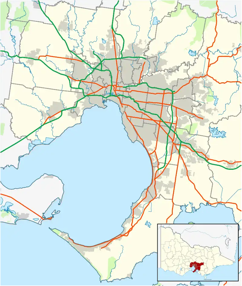
 Deanside Location in metropolitan Melbourne | |||||||||||||||
| Coordinates | 37°43′36″S 144°41′50″E / 37.72657°S 144.6972°E | ||||||||||||||
| Population | 654 (2021 census)[1] | ||||||||||||||
| Established | 2017 | ||||||||||||||
| Postcode(s) | 3336 | ||||||||||||||
| Location | 24 km (15 mi) from Melbourne | ||||||||||||||
| LGA(s) | City of Melton | ||||||||||||||
| State electorate(s) | Kororoit | ||||||||||||||
| Federal division(s) | Gorton | ||||||||||||||
| |||||||||||||||
Deanside is a suburb in Melbourne, Victoria, Australia, 24 km (15 mi) west of Melbourne's Central Business District, located within the City of Melton local government area. Deanside recorded a population of 654 at the 2021 census.[1]
The suburb was gazetted by the Office of Geographic Names on 9 February 2017,[2] following a proposal for eleven new suburbs by the City of Melton, and officially came into effect in mid-2017.[3][4]
Prior to the suburb's creation, the area was split between Rockbank and Plumpton.
References
- 1 2 Australian Bureau of Statistics (28 June 2022). "Deanside (Suburbs and Localities)". 2021 Census QuickStats. Retrieved 23 July 2022.
- ↑ "Locality boundaries". Department of Environment, Land, Water and Planning. State Government of Victoria. Retrieved 25 February 2017.
- ↑ Landy, Samantha (10 February 2017). "Eleven new suburbs to be established in the Melton growth area, west of Melbourne's CBD". Herald Sun. Archived from the original on 25 February 2017. Retrieved 25 February 2017.
{{cite news}}: CS1 maint: bot: original URL status unknown (link) - ↑ "New suburbs". City of Melton. Retrieved 25 February 2017.
This article is issued from Wikipedia. The text is licensed under Creative Commons - Attribution - Sharealike. Additional terms may apply for the media files.