| Devils River State Natural Area | |
|---|---|
.jpg.webp) Dolan Falls | |
 Devils River State Natural Area  Devils River State Natural Area | |
| Location | Val Verde County, USA |
| Nearest city | Del Rio, Texas |
| Coordinates | 29°55′22.84″N 100°58′13.18″W / 29.9230111°N 100.9703278°W |
| Area | 37,000 acres (15,000 ha) |
| Established | 1988 |
| Visitors | 5,017 (in 2022)[1] |
| Governing body | Texas Parks and Wildlife Department |
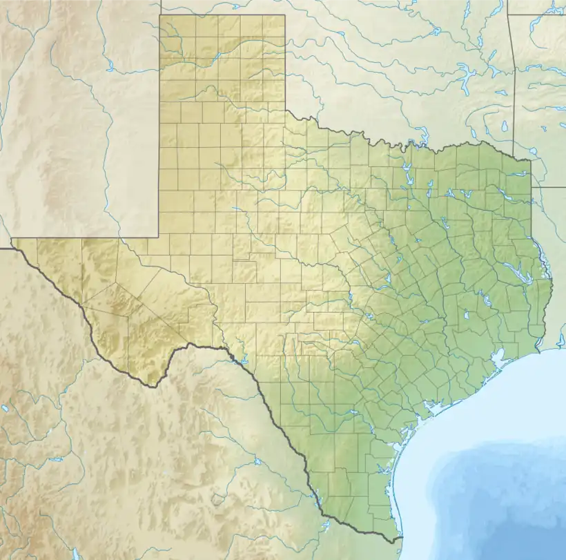
Devils River State Natural Area is a 37,000-acre (15,000 ha) section of three ecosystems, the Edwards Plateau, the Tamaulipan mezquital and the Chihuahuan Desert. It is located 66 miles (106 km) north of Del Rio, Val Verde County in the U.S. state of Texas.[2] In 1857, future Confederate General John Bell Hood and a small U.S. Cavalry force skirmished with a group of Comanche braves along the banks of the Devil's River.[3] In 1873, Texas Ranger Captain Pat Dolan had a skirmish with Native Americans, at the falls named for him. Dolan Falls in the natural area is the highest volume waterfall in Texas. The area was once home to the Comanche, Kiowa and Kickapoo tribes. Pictographs painted with red panthers are found in the area's fifty-three rock shelters, which archeologists have dated to 3000 b.c.. The "Buffalo dancer" pictograph depicts a Native American.[4]
Named for the whitewater Devils River that runs through it, the area was once part of a large working ranch, but purchased by the Texas Parks and Wildlife Department in 1988. The area is home to many varieties of flora and fauna, including the Mexican free-tailed bat as well as live oak, pecan and sycamore trees. Devils River state natural area is a remote location surrounded by private ranches. Floating on the river is a three-day trip, with no modern conveniences available. While campsites are available, campers are advised to bring all basic necessities with them. Visitors are required to remove everything they bring into the area.[5]
See also
Notes
Citations
- ↑ Christopher Adams. "What is the most visited state park in Texas? Here's the top 10 countdown". KXAN.com. Retrieved November 21, 2023.
- ↑ Kowtko (2010), p. 150-151
- ↑ Michno, Gregory (2003). Encyclopedia of Indian Wars: Western Battles and Skirmishes, 1850-1890.
- ↑ Aulbach (2005), p.17-18
- ↑ Parent (2008), p. 15-16
References
- Aulbach, Louis F. (2005). The Devils River. Wilderness Area Map Service. ISBN 978-0976521334.
- Kowtko, Stacy S. (2010). America's Natural Places: South and Southeast. Greenwood Press/ABC-CLIO. ISBN 9780313350894.
- Parent, Laurence (2008). Official Guide to Texas State Parks and Historic Sites. University of Texas Press. ISBN 978-0-292-71726-8.