Didam | |
|---|---|
Town | |
 City centre of Didam | |
 Flag  Coat of arms | |
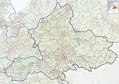
 Didam Location in the province of Gelderland in the Netherlands  Didam Didam (Netherlands) | |
| Coordinates: 51°56′N 6°08′E / 51.933°N 6.133°E | |
| Country | Netherlands |
| Province | Gelderland |
| Municipality | Montferland |
| Area | |
| • Total | 3.07 km2 (1.19 sq mi) |
| Elevation | 12 m (39 ft) |
| Population (2021)[1] | |
| • Total | 12,010 |
| • Density | 3,900/km2 (10,000/sq mi) |
| Time zone | UTC+1 (CET) |
| • Summer (DST) | UTC+2 (CEST) |
| Postal code | 6942[1] |
| Dialing code | 0316 |
Didam (locally, Diem) is a town in the Netherlands in the eastern part of Netherlands in the region of "De Achterhoek", province of Gelderland. It is located in the municipality of Montferland about 18 km east of Arnhem, which is the capital of the province, and about 11 km west from Doetinchem.
History
People in Didam speak a dialect called "diems", and many people speak achterhoeks (which is the dialect of the region "Achterhoek") which is very similar to diems. These two dialect are part of the nedersaksies.
Didam was a separate municipality until 1 January 2005, when it merged with Bergh to create the new municipality of Montferland.[3] The church is dedicated to St. Mary.
Transport
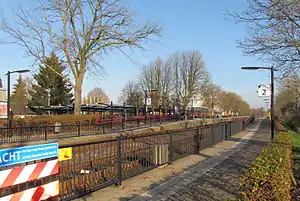
The Didam railway station was opened on 15 July 1885 and is located on the Winterswijk–Zevenaar railway line.
Notable people
- Everard Ter Laak (5 November 1868 – 5 May 1931), Dutch Roman Catholic missionary.
- Paul Peters (born 1942 in Roosteren), Dutch politician
- Jos Som (born 1951 in Didam), Dutch politician.
- Theo Rasing (born 1953 in Didam), Dutch professor of experimental physics.
- Ernie Brandts (born 1956 in Didam), Dutch football manager and former player.
- Geert Hammink (born 1969 in Didam), Dutch professional basketball player.
- Manfred Dikkers (born 1971 in Didam), Dutch drummer.
- Geert-Jan Derksen (born 1975 in Didam), Dutch rower.
Gallery
.jpg.webp) Didam railway station, 1973
Didam railway station, 1973 Didam railway station in 2011
 Didam, St. Mary church
See also
References
- 1 2 3 "Kerncijfers wijken en buurten 2021". Central Bureau of Statistics. Retrieved 13 April 2022.
two entries
- ↑ "Postcodetool for 6942AA". Actueel Hoogtebestand Nederland (in Dutch). Het Waterschapshuis. Retrieved 13 April 2022.
- ↑ Ad van der Meer and Onno Boonstra, "Repertorium van Nederlandse gemeenten", KNAW, 2006. "KNAW > Publicaties > Detailpagina". Archived from the original on 20 February 2007. Retrieved 3 December 2009.