Dogway | |
|---|---|
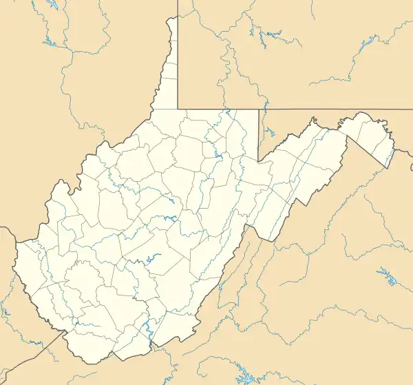 Dogway Location within the state of West Virginia  Dogway Dogway (the United States) | |
| Coordinates: 38°14′27″N 80°22′21″W / 38.24083°N 80.37250°W | |
| Country | United States |
| State | West Virginia |
| County | Webster |
| Elevation | 3,127 ft (953 m) |
| Time zone | UTC-5 (Eastern (EST)) |
| • Summer (DST) | UTC-4 (EDT) |
| GNIS ID | 1554316[1] |
Dogway is an unincorporated community in Webster County, West Virginia, United States.
The community takes its name from Dogway Fork creek.[2]
References
- ↑ U.S. Geological Survey Geographic Names Information System: Dogway, West Virginia
- ↑ Kenny, Hamill (1945). West Virginia Place Names: Their Origin and Meaning, Including the Nomenclature of the Streams and Mountains. Piedmont, WV: The Place Name Press. p. 211.
Municipalities and communities of Webster County, West Virginia, United States | ||
|---|---|---|
| Towns | 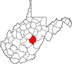 Map of West Virginia highlighting Webster County | |
| CDPs | ||
| Unincorporated communities |
| |
| Ghost towns | ||
This article is issued from Wikipedia. The text is licensed under Creative Commons - Attribution - Sharealike. Additional terms may apply for the media files.