Downsville, Maryland | |
|---|---|
 | |
 Downsville, Maryland  Downsville, Maryland | |
| Coordinates: 39°32′54″N 77°48′06″W / 39.54833°N 77.80167°W | |
| Country | United States |
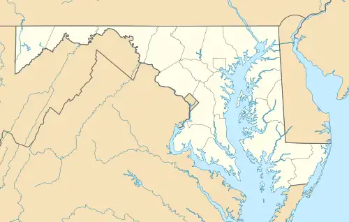
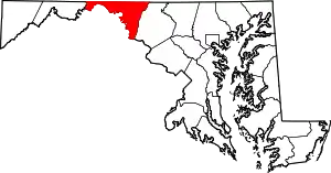
| State | Maryland |
| County | Washington |
| Area | |
| • Total | 0.63 sq mi (1.62 km2) |
| • Land | 0.63 sq mi (1.62 km2) |
| • Water | 0.00 sq mi (0.00 km2) |
| Elevation | 463 ft (141 m) |
| Population (2020) | |
| • Total | 341 |
| • Density | 545.60/sq mi (210.75/km2) |
| Time zone | UTC-5 (Eastern (EST)) |
| • Summer (DST) | UTC-4 (EDT) |
| Area code(s) | 301, 240 |
| GNIS feature ID | 590108[2] |
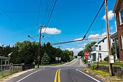
Downsville is an unincorporated community and census-designated place (CDP) in southwestern Washington County, Maryland, United States. Its population was 355 as of the 2010 census.[3] It is located southeast of Williamsport on Maryland Route 63 and on Maryland Route 632, southwest of Hagerstown. It is officially included in the Hagerstown Metropolitan Area (Hagerstown-Martinsburg, MD-WV Metropolitan Statistical Area).
Geography
According to the U.S. Census Bureau, the community has an area of 0.625 square miles (1.62 km2), all land.[3]
Demographics
| Census | Pop. | Note | %± |
|---|---|---|---|
| 2020 | 341 | — | |
| U.S. Decennial Census[4] | |||
References
- ↑ "2020 U.S. Gazetteer Files". United States Census Bureau. Retrieved April 26, 2022.
- ↑ "Downsville". Geographic Names Information System. United States Geological Survey, United States Department of the Interior.
- 1 2 "2010 Census Gazetteer Files - Places: Maryland". U.S. Census Bureau. Retrieved February 12, 2017.
- ↑ "Census of Population and Housing". Census.gov. Retrieved June 4, 2016.
This article is issued from Wikipedia. The text is licensed under Creative Commons - Attribution - Sharealike. Additional terms may apply for the media files.