Gapland, Maryland | |
|---|---|
 Gapland, Maryland  Gapland, Maryland | |
| Coordinates: 39°24′10″N 77°39′37″W / 39.40278°N 77.66028°W | |
| Country | United States |
| State | Maryland |
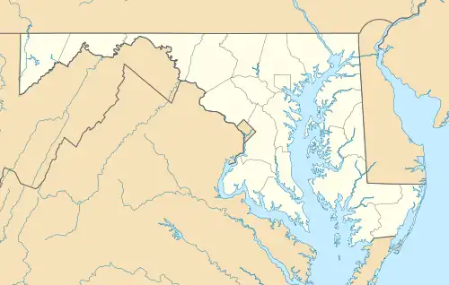
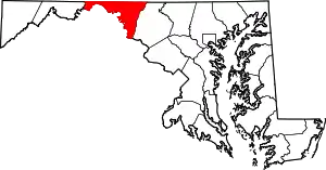
| County | Washington |
| Area | |
| • Total | 0.22 sq mi (0.58 km2) |
| • Land | 0.22 sq mi (0.58 km2) |
| • Water | 0.00 sq mi (0.00 km2) |
| Elevation | 617 ft (188 m) |
| Population (2020) | |
| • Total | 109 |
| • Density | 486.61/sq mi (188.26/km2) |
| Time zone | UTC-5 (Eastern (EST)) |
| • Summer (DST) | UTC-4 (EDT) |
| ZIP code | 21779[2] |
| Area code(s) | 301, 240 |
| FIPS code | 24-31400 |
| GNIS feature ID | 590277[3] |
Gapland is an unincorporated community and census-designated place in Washington County, Maryland, United States.[3] Its population was 109 as of the 2010 census.[4]
Geography
According to the U.S. Census Bureau, the community has an area of 0.224 square miles (0.58 km2), all land.[4]
Demographics
| Census | Pop. | Note | %± |
|---|---|---|---|
| 2020 | 109 | — | |
| U.S. Decennial Census[5] | |||
References
- ↑ "2020 U.S. Gazetteer Files". United States Census Bureau. Retrieved April 26, 2022.
- ↑ "Gapland MD ZIP Code". zipdatamaps.com. 2023. Retrieved April 18, 2023.
- 1 2 "Gapland". Geographic Names Information System. United States Geological Survey, United States Department of the Interior.
- 1 2 "2010 Census Gazetteer Files - Places: Maryland". U.S. Census Bureau. Retrieved February 11, 2017.
- ↑ "Census of Population and Housing". Census.gov. Retrieved June 4, 2016.
Wikimedia Commons has media related to Gapland, Maryland.
This article is issued from Wikipedia. The text is licensed under Creative Commons - Attribution - Sharealike. Additional terms may apply for the media files.