Durlingville
Location of Durlingville Alberta
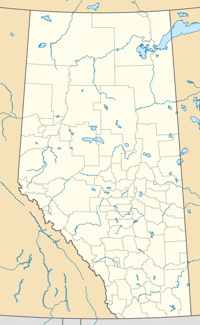
Durlingville is an unincorporated area in central Alberta, Canada within the Municipal District of Bonnyville No. 87.[1] It is located between Alberta Highway 28 and Alberta Highway 659.
The community's name is an amalgamation of Durand and Islin, the surnames of pioneer citizens.[2]
See also
References
- ↑ "Durlingville". Geographical Names Data Base. Natural Resources Canada.
- ↑ Place-names of Alberta. Ottawa: Geographic Board of Canada. 1928. p. 45.
54°07′27″N 111°09′09″W / 54.12417°N 111.15250°W
This article is issued from Wikipedia. The text is licensed under Creative Commons - Attribution - Sharealike. Additional terms may apply for the media files.