| Eagland Hill | |
|---|---|
 Farmland near Birk's Farm | |
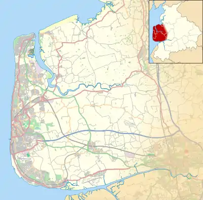
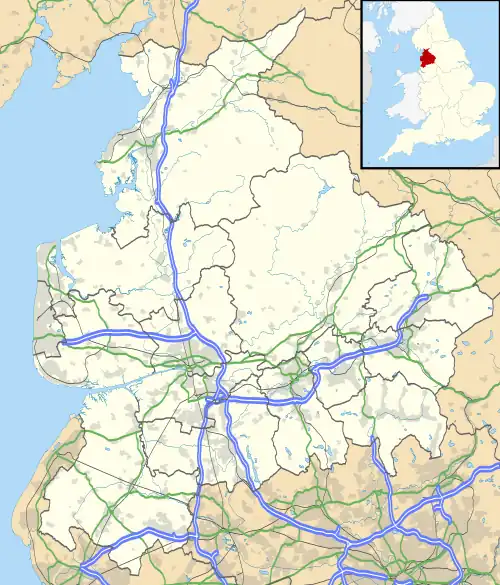
 Eagland Hill Shown within Wyre Borough  Eagland Hill Shown on the Fylde  Eagland Hill Location within Lancashire | |
| Population | 272 [1](2001) |
| OS grid reference | SD429452 |
| Civil parish | |
| District | |
| Shire county | |
| Region | |
| Country | England |
| Sovereign state | United Kingdom |
| Post town | PRESTON |
| Postcode district | PR3 |
| Dialling code | 01253 |
| Police | Lancashire |
| Fire | Lancashire |
| Ambulance | North West |
| UK Parliament | |
Eagland Hill is a rural hamlet in the civil parish of Pilling, in the county of Lancashire, England. It lies in a part of the Fylde, west of Garstang, known locally as Over Wyre. The church, dedicated to St Mark, dates from 1870. The area attracts many bird-watchers, due to the number of rare birds.
St Mark's Church
The church's foundation stone was laid, on 13 August 1869, by co-founder James Jenkinson and the church was opened on St Mark's Day, 20 April, the following year. Jenkinson's cottage was the first house to be built in the village, in 1814, and the church altar is located where the cottage fireplace once stood. The church does not have a graveyard.[2]

Next to the church is the church hall which still has, in use, a Victorian letter-box.[3]
Brook Farm Airfield
Just under 1 mile (1.6 km) west of the hamlet is Brook Farm Airfield. Its two grass runways are 07/25, 420 metres (1,380 ft), and 09/27, 435 metres (1,427 ft).[4] It is located 3 miles (4.8 km) southwest of Tarn Farm Airfield (Rossall Airfield) (GB-0440) in Cockerham and 5 miles (8.0 km) northwest of St Michael's Airfield (GB-0398).
References
- ↑ Neighbourhood statistics for 30UQGZ0005 (Output Area) which includes Eagland Hill and the surrounding rural area
- ↑ "St Mark, Eagland Hill" at genuki
- ↑ https://www.geograph.org.uk/photo/1171099
- ↑ Brook Farm – UK Airfield Guide
External links
![]() Media related to Eagland Hill at Wikimedia Commons
Media related to Eagland Hill at Wikimedia Commons