East Amana, Iowa | |
|---|---|
 East Amana  East Amana | |
| Coordinates: 41°48′33″N 91°51′4″W / 41.80917°N 91.85111°W | |
| Country | United States |
| State | Iowa |
| County | Iowa |
| Area | |
| • Total | 0.37 sq mi (0.97 km2) |
| • Land | 0.37 sq mi (0.97 km2) |
| • Water | 0.00 sq mi (0.00 km2) |
| Elevation | 755 ft (230 m) |
| Population (2020) | |
| • Total | 64 |
| • Density | 171.12/sq mi (66.16/km2) |
| Time zone | UTC-6 (Central (CST)) |
| • Summer (DST) | UTC-5 (CDT) |
| Area code | 319 |
| FIPS code | 19-23520 |
| GNIS feature ID | 456111 |
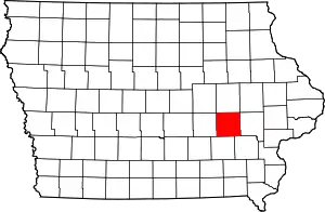
East Amana is an unincorporated community and census-designated place (CDP) in Iowa County, Iowa, United States, and is part of the "seven villages" of the Amana Colonies. As of the 2010 Census, the population of East Amana was 56.[2]
According to the website Statistical Atlas, all of the residents of East Amana speak German at home, and only 67.7% can speak English 'Very Well'.[3]
Geography
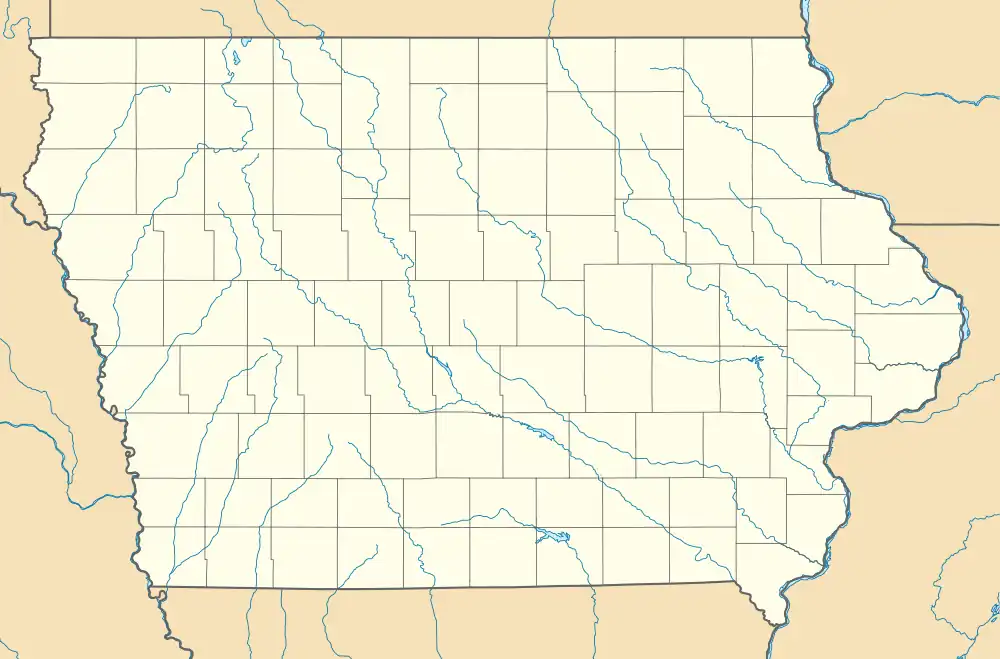
East Amana is in northeastern Iowa County, 1 mile (1.6 km) northeast of its neighbor village of Amana. It sits at the base of hills marking the northern edge of the Iowa River valley. According to the U.S. Census Bureau, the East Amana CDP has an area of 0.71 square miles (1.85 km2), all land.[2]
Demographics
| Census | Pop. | Note | %± |
|---|---|---|---|
| 2020 | 64 | — | |
| U.S. Decennial Census[4] | |||
History
In 1881, East Amana contained a blacksmith shop, carpenter shop, and barns in which sheep were kept.[5]
References
- ↑ "2020 U.S. Gazetteer Files". United States Census Bureau. Retrieved March 16, 2022.
- 1 2 "Geographic Identifiers: 2010 Census Summary File 1 (G001): East Amana CDP, Iowa". American Factfinder. U.S. Census Bureau. Archived from the original on February 13, 2020. Retrieved April 2, 2018.
- ↑ Languages in East Amana, Iowa (Unincorporated Place) - Statistical Atlas
- ↑ "Census of Population and Housing". Census.gov. Retrieved June 4, 2016.
- ↑ The History of Iowa County, Iowa: Containing a History of the County, Its Cities, Towns, &c. Union Historical Company. 1881. pp. 765.
