West Amana, Iowa | |
|---|---|
 West Amana  West Amana | |
| Coordinates: 41°48′26″N 91°57′55″W / 41.80722°N 91.96528°W | |
| Country | United States |
| State | Iowa |
| County | Iowa |
| Area | |
| • Total | 0.27 sq mi (0.71 km2) |
| • Land | 0.27 sq mi (0.71 km2) |
| • Water | 0.00 sq mi (0.00 km2) |
| Elevation | 780 ft (240 m) |
| Population (2020) | |
| • Total | 140 |
| • Density | 514.71/sq mi (198.56/km2) |
| Time zone | UTC-6 (Central (CST)) |
| • Summer (DST) | UTC-5 (CDT) |
| ZIP code | 52203 |
| FIPS code | 19-83505 |
| GNIS feature ID | 462803 |
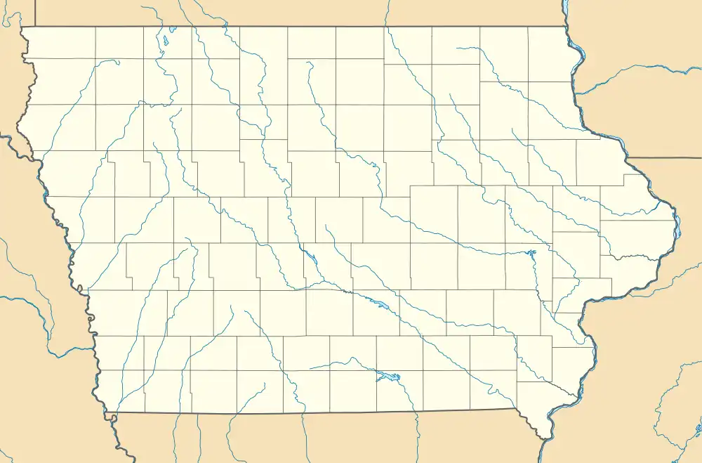
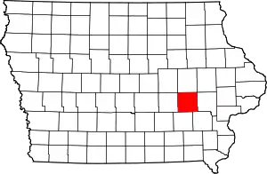
West Amana is an unincorporated community and census-designated place in Iowa County, Iowa, United States, and is part of the "seven villages" of the Amana Colonies. As of the 2010 census, the population of West Amana was 135.[2]
Demographics
History
In 1881, West Amana had a population of 170 and contained a store.[3]
References
- ↑ "2020 U.S. Gazetteer Files". United States Census Bureau. Retrieved March 16, 2022.
- ↑ "Geographic Identifiers: 2010 Census Summary File 1 (G001): West Amana CDP, Iowa". American Factfinder. U.S. Census Bureau. Archived from the original on February 13, 2020. Retrieved April 3, 2018.
- ↑ The History of Iowa County, Iowa: Containing a History of the County, Its Cities, Towns, &c. Union Historical Company. 1881. pp. 766.
This article is issued from Wikipedia. The text is licensed under Creative Commons - Attribution - Sharealike. Additional terms may apply for the media files.
