Eel Township | |
|---|---|
 Houses in the Point Historic District of Logansport, located in the township | |
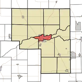 Location of Eel Township in Cass County | |
| Coordinates: 40°45′14″N 86°21′23″W / 40.75389°N 86.35639°W | |
| Country | United States |
| State | Indiana |
| County | Cass |
| Government | |
| • Type | Indiana township |
| Area | |
| • Total | 9.78 sq mi (25.33 km2) |
| • Land | 9.34 sq mi (24.2 km2) |
| • Water | 0.44 sq mi (1.13 km2) |
| Elevation | 633 ft (193 m) |
| Population (2010) | |
| • Total | 18,767 |
| • Density | 1,900/sq mi (740/km2) |
| ZIP code | 46947[2] |
| Area code | 574 |
| FIPS code | 18-20494[3] |
| GNIS feature ID | 453272 |
Eel Township is one of fourteen townships in Cass County, Indiana. As of the 2010 census, its population was 18,767.
Geography
Eel Township covers an area of 9.78 square miles (25.3 km2) and lies partly between the Eel River and the Wabash River; the former joins the latter within Logansport (the county seat). According to the USGS, it contains one cemetery, Mount Hope.
References
- ↑ "US Board on Geographic Names". United States Geological Survey. October 25, 2007. Retrieved January 31, 2008.
- ↑ "Eel Township IN ZIP Code". zipdatamaps.com. 2023. Retrieved June 16, 2023.
- ↑ "U.S. Census website". United States Census Bureau. Retrieved January 31, 2008.
External links
 Media related to Eel Township, Cass County, Indiana at Wikimedia Commons
- Indiana Township Association
- United Township Association of Indiana
Municipalities and communities of Cass County, Indiana, United States | ||
|---|---|---|
| City | Map of Indiana highlighting Cass County | |
| Towns | ||
| Townships | ||
| CDPs | ||
| Other communities | ||
| Footnotes | ‡This populated place also has portions in an adjacent county or counties | |
This article is issued from Wikipedia. The text is licensed under Creative Commons - Attribution - Sharealike. Additional terms may apply for the media files.