Estancia Presidencial Anchorena Airport | |||||||||||
|---|---|---|---|---|---|---|---|---|---|---|---|
| Summary | |||||||||||
| Airport type | Public | ||||||||||
| Serves | Anchorena National Park | ||||||||||
| Elevation AMSL | 33 ft / 10 m | ||||||||||
| Coordinates | 34°16′15″S 57°57′50″W / 34.27083°S 57.96389°W | ||||||||||
| Map | |||||||||||
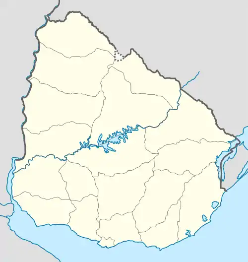
 SUAN Location of the airport in Uruguay | |||||||||||
| Runways | |||||||||||
| |||||||||||
Estancia Presidencial Anchorena Airport (ICAO: SUAN) is an airport serving Anchorena National Park and the Presidential Estate at Barra de San Juan in Colonia Department, Uruguay. The airport lies along the Río San Juan, 2 kilometres (1 mi) from its confluence into the Río de la Plata estuary.
The San Fernando VOR-DME (Ident: FDO) is located 32.6 nautical miles (60 km) west-southwest of the airport. The Colonia non-directional beacon (Ident: COL) is located 14.6 nautical miles (27 km) southeast of the airport.[3][4]
Airspace over the Presidential Estate is restricted.[5]
See also
References
- ↑ Airport information for SUAN at Great Circle Mapper.
- ↑ Google Maps - Anchorena (10/19/2014)
- ↑ "Colonia NDB". Our Airports. Retrieved 20 February 2019.
- ↑ "San Fernando VOR". Our Airports.
- ↑ Skyvector Aeronautical Charts - Anchorena
External links
- OpenStreetMap - Estancia Presidencial Anchorena Airport
- HERE Maps - Anchorena
- Anchorena Park (in Spanish)
This article is issued from Wikipedia. The text is licensed under Creative Commons - Attribution - Sharealike. Additional terms may apply for the media files.