Placeres Airport Bella Unión Airport | |||||||||||
|---|---|---|---|---|---|---|---|---|---|---|---|
| Summary | |||||||||||
| Airport type | Public | ||||||||||
| Serves | Bella Unión, Uruguay | ||||||||||
| Elevation AMSL | 251 ft / 77 m | ||||||||||
| Coordinates | 30°19′10″S 57°33′35″W / 30.31944°S 57.55972°W | ||||||||||
| Map | |||||||||||
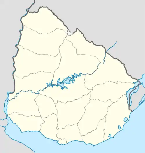
 BUV Location of the airport in Uruguay | |||||||||||
| Runways | |||||||||||
| |||||||||||
Placeres Airport (IATA: BUV, ICAO: SUBU) is an airport serving the Uruguay River town of Bella Unión in Artigas Department, Uruguay. The airport is in the countryside 7 kilometres (4 mi) south-southeast of Bella Unión. There are 170 metres (560 ft) of unpaved overrun available on the northwest end.
The Monte Caseros VOR-DME (Ident: MCS) is located 5.1 nautical miles (9 km) northwest of the airport.[3]
See also
References
- ↑ Airport information for Bella Unión Airport at Great Circle Mapper.
- ↑ "Placeres Airport". Google Maps. Google. Retrieved 17 February 2019.
- ↑ "Monte Caseros VOR". World Aero Data. Archived from the original on February 18, 2019. Retrieved 17 February 2019.
{{cite web}}: CS1 maint: unfit URL (link)
External links
- HERE Maps - Bella Unión
- OpenStreetMap - Placeres Airport
- Landings - Bella Unión Airport
- Accident history for Bella Union Airport at Aviation Safety Network
This article is issued from Wikipedia. The text is licensed under Creative Commons - Attribution - Sharealike. Additional terms may apply for the media files.