Flóahreppur | |
|---|---|
 Skyline of Flóahreppur | |
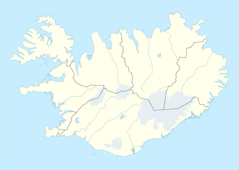
 Location of Flóahreppur | |
 Flóahreppur | |
| Coordinates: 63°59′22″N 21°12′08″W / 63.9894425°N 21.2022315°W | |
| Country | Iceland |
| Region | Southern Region |
| Constituency | South Constituency |
| Government | |
| • Manager | Eydís Þ. Indriðadóttir |
| Area | |
| • Total | 289 km2 (112 sq mi) |
| Population | |
| • Total | 631 |
| • Density | 2.18/km2 (5.6/sq mi) |
| Municipal number | 8722 |
| Website | floahreppur |
Flóahreppur (Icelandic pronunciation: [ˈflouːaˌr̥ehpʏr̥] ⓘ) is a municipality located in southern Iceland.
Notable landmarks
- Dælarétt
- Flóaáveitan
- Hraungerðiskirkja
- Hvítá
- Laugdælakirkja, Bobby Fischer a former chess grandmaster is buried there.
- Urriðafoss
- Villingaholtskirkja
- Þjórsá
- Ölvisholt brugghús
References
External links
- Official website (in Icelandic)
This article is issued from Wikipedia. The text is licensed under Creative Commons - Attribution - Sharealike. Additional terms may apply for the media files.