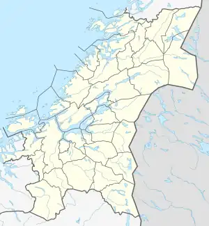
 Frøya Location of the island  Frøya Frøya (Norway) | |
| Geography | |
|---|---|
| Location | Trøndelag, Norway |
| Coordinates | 63°40′20″N 8°20′03″E / 63.6721°N 08.3343°E |
| Area | 151.9 km2 (58.6 sq mi) |
| Length | 28 km (17.4 mi) |
| Width | 12 km (7.5 mi) |
| Highest elevation | 76 m (249 ft) |
| Highest point | Besselvassheia |
| Administration | |
Norway | |
| County | Trøndelag |
| Municipality | Frøya |
Frøya is an island in Frøya municipality in Trøndelag county, Norway. The 152-square-kilometre (59 sq mi) island makes up about 63% of the land area of Frøya municipality. The island lies in a large archipelago of islands in the Frøyhavet sea, just northwest of the entrance to the Trondheimsfjorden. The Frøyfjorden lies to the south of the island and that separates it from the large island of Hitra.[1]
The island is rocky with heather-covered moorland as well as marshes and lakes. There are no naturally forested areas on the island. The highest point on the island is Besselvassheia, at 76 metres (249 ft) above sea level. The southern and eastern coasts are relatively smooth, but the northern coast is very jagged with many fjords and coves. Sletringen Lighthouse lies at the southwestern tip of the island.[1]
The island is connected to the mainland via the Frøya Tunnel which connects it to the neighboring island of Hitra. The island of Hitra is then connected to the mainland by the Hitra Tunnel.
Name
The name of the island (and municipality) comes from Norse mythology. Although Frøya is a variant of the name of the Norse goddess Freyja, the Old Norse form of the name of the island was Frøy or Frey (the ending -a in the modern form is actually the definite article - so the meaning of Frøya is 'the Frøy'). Therefore, the name of the island probably has the same root as the name of the Norse god Freyr, brother to Freyja. The names originally were titles: "lord" or "lady". The oldest meaning of the common word was "(the one) in front; the foremost, the leading" and here in the sense "the island in front of Hitra". Until 1906 the island and municipality name was spelled Frøien (-en is the definite article in Danish-Norwegian).[2]
Media gallery
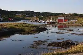 Flatval
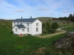 House on Frøya
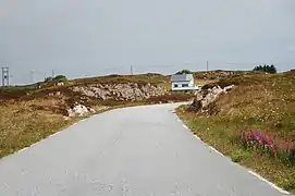 Road on Frøya
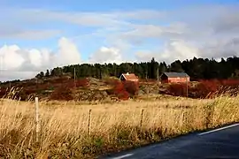 Husvika
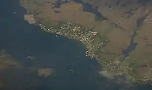 Sistranda
.jpg.webp) Plantlife on Frøya
Plantlife on Frøya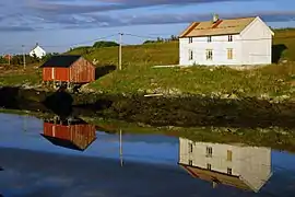 Houses in Titran
 View of Titran
See also
References
- 1 2 Haugen, Morten, ed. (2017-09-12). "Frøya – øy". Store norske leksikon (in Norwegian). Kunnskapsforlaget. Retrieved 2018-02-19.
- ↑ Rygh, Oluf (1901). Norske gaardnavne: Søndre Trondhjems amt (in Norwegian) (14 ed.). Kristiania, Norge: W. C. Fabritius & sønners bogtrikkeri. p. 55.