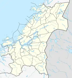
| Frøyfjorden | |
|---|---|
 Frøyfjorden Location of the strait  Frøyfjorden Frøyfjorden (Norway) | |
| Location | Trøndelag county, Norway |
| Coordinates | 63°37′48″N 8°24′27″E / 63.6301°N 08.4074°E |
| Type | Strait |
| Basin countries | Norway |
| Max. length | 25 kilometres (16 mi) |
| Max. width | 9 kilometres (5.6 mi) |
| Average depth | 100 metres (330 ft) |
| Islands | Dolmøya, Bispøyan |
The Frøyfjorden is a strait between the islands of Frøya and Hitra in Trøndelag county, Norway. The 25-kilometre (16 mi) long strait is rather shallow, only about 100 metres (330 ft) at its deepest. The Frøya Tunnel goes beneath the fjord from Hammarvika in Frøya Municipality to the island of Dolmøya in Hitra Municipality.[1]
References
- ↑ Haugen, Morten, ed. (2017-09-12). "Frøya - kommune". Store norske leksikon (in Norwegian). Kunnskapsforlaget. Retrieved 2018-02-12.
This article is issued from Wikipedia. The text is licensed under Creative Commons - Attribution - Sharealike. Additional terms may apply for the media files.