Frontier Pathways National Scenic Byway | |
|---|---|
| Route information | |
| Maintained by CDOT | |
| Length | 103 mi[1][2] (166 km) |
| Existed | 1998–present |
| Major junctions | |
| East end | |
| West end | |
| Location | |
| Country | United States |
| State | Colorado |
| Counties | Custer and Pueblo counties |
| Highway system | |
| |


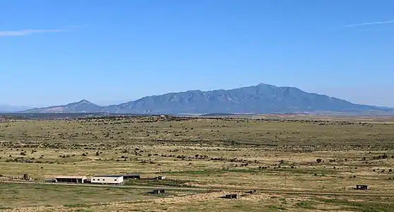
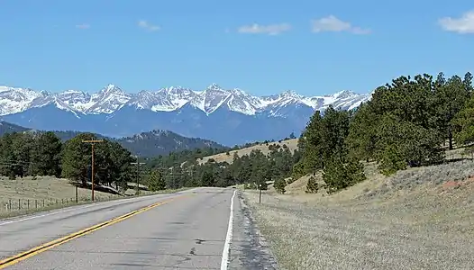
The Frontier Pathways is a 103-mile (166 km) National Scenic Byway and Colorado Scenic and Historic Byway located in Custer and Pueblo counties, Colorado, US.
Route
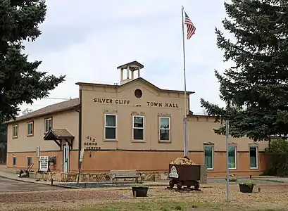
Gallery
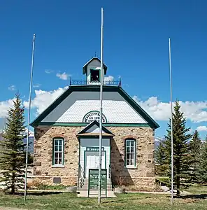 The Westcliffe School in Westcliffe
See also
Notes
References
- ↑ "Frontier Pathways". Colorado Department of Transportation. 2021. Retrieved April 7, 2022.
- ↑ "Frontier Pathways Scenic and Historic Byway". America's Scenic Byways. Retrieved April 7, 2022.
External links
- America's Byways
- America's Scenic Byways: Colorado
- Colorado Department of Transportation
- Colorado Tourism Office
- History Colorado
This article is issued from Wikipedia. The text is licensed under Creative Commons - Attribution - Sharealike. Additional terms may apply for the media files.