| Alaska Scenic Byways | |
|---|---|
 | |
| System information | |
| Formed | 1993[1] |
| State | Alaska Route nn (AK nn) |
| System links | |
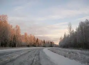
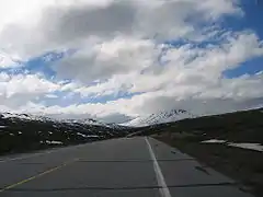
The Alaska Scenic Byways Program is a program designated by the Alaska Department of Transportation and Public Facilities (DOT&PF) that is used to recognize and protect the most scenic, historic, and recreational highways located in the U.S. state of Alaska. Recognized roadways may also be National Scenic Byways and National Forest Scenic Byways, both designated by the federal government, in addition to being Alaska Scenic Byways, which are designated by the state. The Alaska Scenic Byway system was created to recognize and protect Alaska's most important recreational highways.[1]
List
| Name | From | To | Length (mi)[2] | Length (km) | Highway | Notes |
|---|---|---|---|---|---|---|
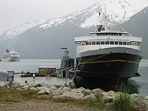
| Alaska Marine Highway: Inside Passage Routes | Haines | Skagway | 1,048 | 1,687 | Alaska Marine Highway System | The only non-road in the National Byway System; also an All-American Road |
| Alaska Marine Highway: Southcentral & Cross Gulf Routes, Southwest & Aleutian Island Routes | Unalaska | Cordova | 1,650 | 2,660 | ||
| Dalton Highway | Livengood | Deadhorse | 414 | 666 | Alaska Route 11 | |
| Glenn Highway | Anchorage | Glennallen | 139 | 224 | Alaska Route 1 | Passes a large series of scenic glaciers, also a National Scenic Byway |
| Haines Highway | Haines | Canada–United States border | 44 | 71 | Alaska Route 7 | Travels through the scenic Chilkat Pass to the Canadian border, also a National Scenic Byway |
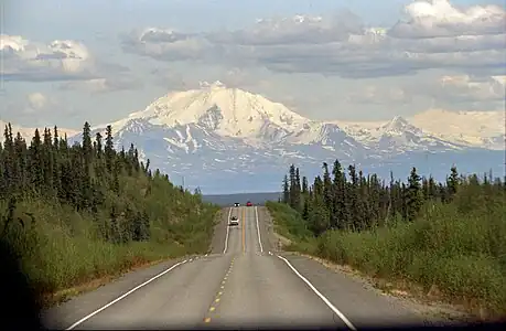
| Parks Highway | Denali State Park | Healy | 116 | 187 | Alaska Route 3 | Passes through Denali National Park, also a National Scenic Byway |
| Richardson Highway | Fairbanks | Fort Greely | 101 | 163 | Alaska Route 2, Alaska Route 4 | Northern segment |
| Richardson Highway | Valdez | Glenallen | 115 | 185 | Alaska Route 4 | Southern segment |
| Seward Highway | Seward | Anchorage | 127 | 204 | Alaska Route 1 | Passes directly through the scenic Chugach National Forest, also an All-American Road and a National Forest Scenic Byway |
| Steese Highway | Fox | Circle | 151 | 243 | Alaska Route 2, Alaska Route 6 | |
| Sterling Highway | Seward Highway | Skilak Lake | 39 | 63 | Alaska Route 1 | Northern segment |
| Sterling Highway | Anchor Point | Homer Spit | 29 | 47 | Alaska Route 1 | Southern segment |
| Taylor & Top of the World Highways | Tetlin Junction | Boundary | 105 | 169 | Alaska Route 5 |
See also
References
- 1 2 Alaska Scenic Byways Program. "About the Scenic Byway Program". Alaska Department of Transportation & Public Facilities. Retrieved April 22, 2012.
- ↑ Staff (2007). "Alaska Scenic Byways". Alaska! Official State Map. Alaska Department of Transportation & Public Facilities. Reverse.
External links
- Alaska's Scenic Byways official website from the Alaska Department of Transportation & Public Facilities
This article is issued from Wikipedia. The text is licensed under Creative Commons - Attribution - Sharealike. Additional terms may apply for the media files.


.jpg.webp)