Glacier Colony, Montana | |
|---|---|
 Glacier Colony  Glacier Colony | |
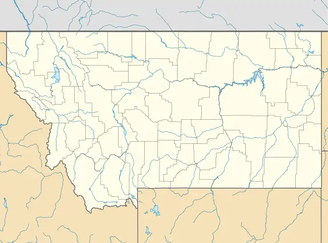
| Coordinates: 48°49′51″N 112°13′9″W / 48.83083°N 112.21917°W | |
| Country | United States |
| State | Montana |
| County | Glacier |
| Area | |
| • Total | 0.48 sq mi (1.23 km2) |
| • Land | 0.47 sq mi (1.23 km2) |
| • Water | 0.00 sq mi (0.00 km2) |
| Elevation | 4,110 ft (1,250 m) |
| Population (2020) | |
| • Total | 102 |
| • Density | 214.74/sq mi (82.98/km2) |
| Time zone | UTC-7 (Mountain (MST)) |
| • Summer (DST) | UTC-6 (MDT) |
| ZIP Code | 59427 (Cut Bank) |
| Area code | 406 |
| FIPS code | 30-30925 |
| GNIS feature ID | 2806621[2] |
Glacier Colony is a Hutterite community[3] and census-designated place (CDP) in Glacier County, Montana, United States. It is in the northeastern part of the county, 18 miles (29 km) by road north-northeast of Cut Bank and 21 miles (34 km) west-southwest of Sunburst.
Glacier Colony was first listed as a CDP prior to the 2020 census.[2]
Demographics
| Census | Pop. | Note | %± |
|---|---|---|---|
| 2020 | 102 | — | |
| U.S. Decennial Census[4] | |||
References
- ↑ "ArcGIS REST Services Directory". United States Census Bureau. Retrieved September 5, 2022.
- 1 2 3 "Glacier Colony Census Designated Place". Geographic Names Information System. United States Geological Survey, United States Department of the Interior.
- ↑ Morton, Claudette, ed. (2010). Essential Understandings of Montana Hutterites: A Resource for Educators and Students (PDF). Montana Office of Public Instruction. p. 2. Retrieved June 9, 2021.
- ↑ "Census of Population and Housing". Census.gov. Retrieved June 4, 2016.
Municipalities and communities of Glacier County, Montana, United States | ||
|---|---|---|
| City | 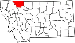 Glacier County map | |
| Town | ||
| CDPs | ||
| Indian reservation | ||
| Footnotes | ‡This populated place also has portions in an adjacent county or counties | |
This article is issued from Wikipedia. The text is licensed under Creative Commons - Attribution - Sharealike. Additional terms may apply for the media files.