Guaíra | |
|---|---|
 Flag  Coat of arms | |
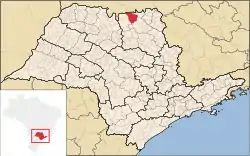 Location in São Paulo state | |
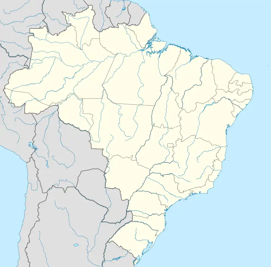 Guaíra Location in Brazil | |
| Coordinates: 20°19′6″S 48°18′38″W / 20.31833°S 48.31056°W | |
| Country | Brazil |
| Region | Southeast |
| State | São Paulo |
| Mesoregion | Ribeirão Preto |
| Government | |
| • Mayor | Sérgio de Mello (PT) |
| Area | |
| • Total | 1,258 km2 (486 sq mi) |
| Elevation | 517 m (1,696 ft) |
| Population (2020 [1]) | |
| • Total | 41,040 |
| • Density | 33/km2 (84/sq mi) |
| Time zone | UTC−3 (BRT) |
| Postal code | 14790-000 |
| Area code | (+55) 17 |
| Website | www |
Guaíra is a municipality in São Paulo state in Brazil. The population is 41,040 (2020 est.) in an area of 1258 km2.[2]
History
In the northeastern region of São Paulo, between the Rio Grande, Pardo River and the Sapucaí River, in what was then called Nuporanga, Antônio Marques Garcia founded a town in the called "Corredeira," along the path to Santa dos Olhos D'Água (which is today known as Ipuã). A plot of land which was acquired November 12, 1901 for "Six-hundred thousand réis" was enlarged with lands donated by Joaquim Garcia Franco and Maria Sabino Alves Franco, resulting in a significantly sized area focused around a small settlement called "Corredeira of São Sebastião" in homage to the patron saint, later renamed "Corredeira do Bom Jardim" or simply "Corredeira."
It was named a "Distrito de Paz," (that is, was assigned a Justice of the Peace) with the name of Guaíra, by State Law n. 1144 on November 16, 1908, and a municipality by State Law n. 2328 on December 27, 1928. Installation as a municipality took place on May 18, 1929, and installation as a comarca on May 18, 1955. "Guaíra" is a toponym which can be translated as "running water."
Geography
Guaíra is located at an altitude of 517 metres (1,696 ft).
- Topography: flat
- Rainfall: yearly average of 1,550 mm
- Winds predominantly from the Northwest
- Temperature:
- Maximum: 38 degrees Celsius
- Minimum: 6 degrees Celsius
- Median: 25 degrees Celsius
Hydrography
- Rio Grande
- Sapucaí River
- Rio Pardo
- Ribeirão do Jardim
Highways
Demographics
Census data: 2000
Total population: 34,610
- Urban: 32.274
- Rural: 2,336
- Men: 17,412
- Women: 17, 198
Population density (inhabitants/km2): 27.50
Infant mortality to age 1 (per thousand): 8.24
Life expectancy (years): 75.93
Fertility rate (children per woman): 2.17
Literacy rate: 91.07%
Human Development Index: 0.822
- HDI-M GDP: 0.728
- HDI-M Life Expectancy: 0.849
- HDI-M Education: 0.888
(Source: IPEA)
Other measures
- Number of voters in 2003: 25,231
- Date of founding: December 27, 1928
- Major industries: agriculture, husbandry, agribusiness
- Roads - 740 km
- Paved roads: 44 km
- Main tourist point: Lago Maracá